Transport Functions
Port
Rail
Road
Hub Profile
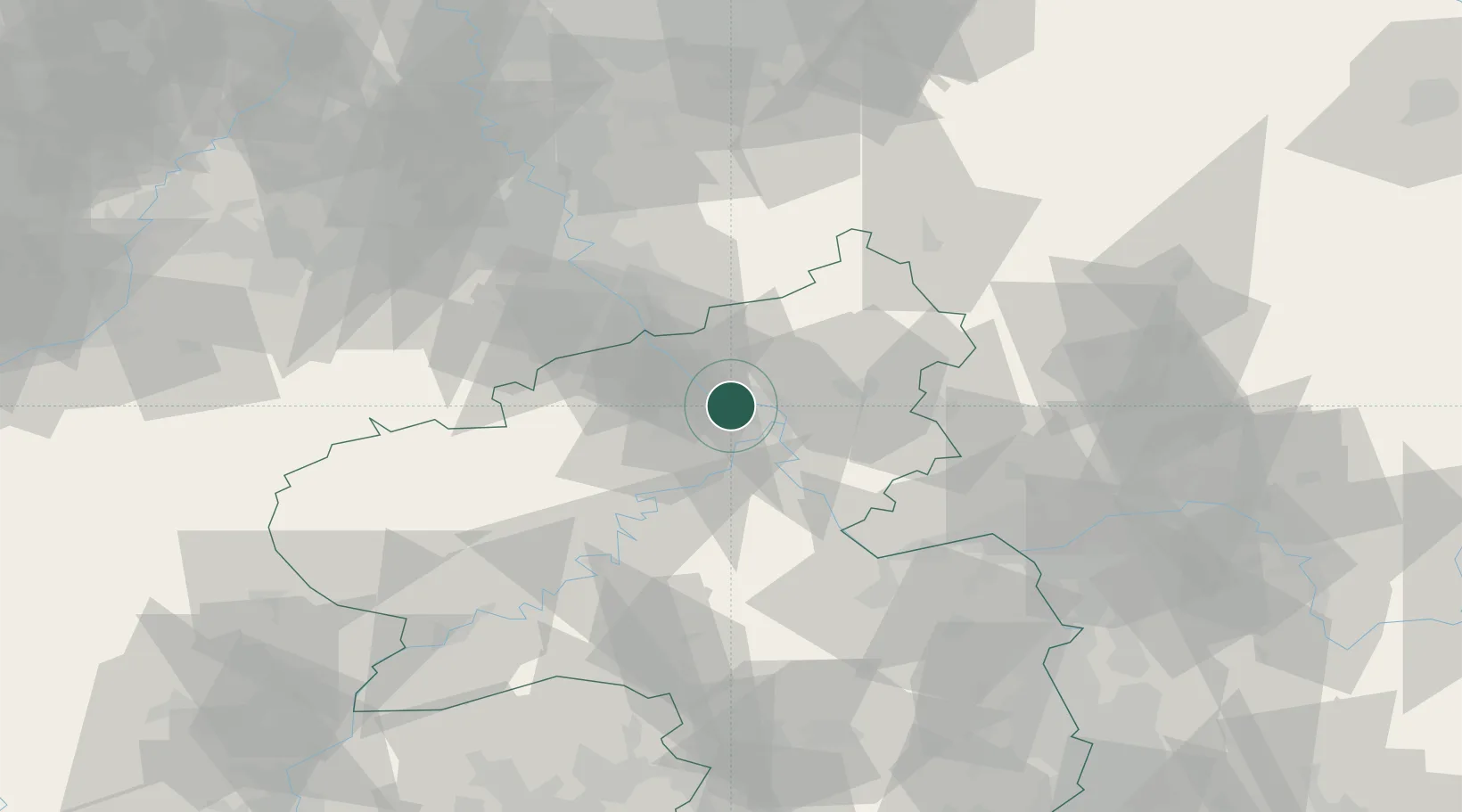
Place type
Populated place
Region
Rheinland-Pfalz
Population
7,639
Time zone
Europe/Berlin
Elevation
79 m
Location
Nearby Logistics Neighbours
Cities
- 1Andernach3 km
- 2Urmitz5 km
- 3Bassenheim6 km
- 4Kretz6 km
- 5Bendorf/Rhein8 km
Airports
- 1Büchel Air Base39 km
- 2Frankfurt-Hahn Airport54 km
- 3Cologne Bonn Airport54 km
- 4Siegerland Airport55 km
- 5Mainz-Finthen Airfield70 km
Trade Zones
- 1Rheinische Revier SWZ93 km
- 2Luxembourg Free Port123 km
- 3Freeport of Duisburg130 km
- 4ZFU La Cité Behren-lès-Forbach144 km
- 5ZFU Woippy-Metz169 km
DatabookThe Record of Consolidated Knowledge
Germany beyond logistics?