Transport Functions
Port
Rail
Road
Hub Profile
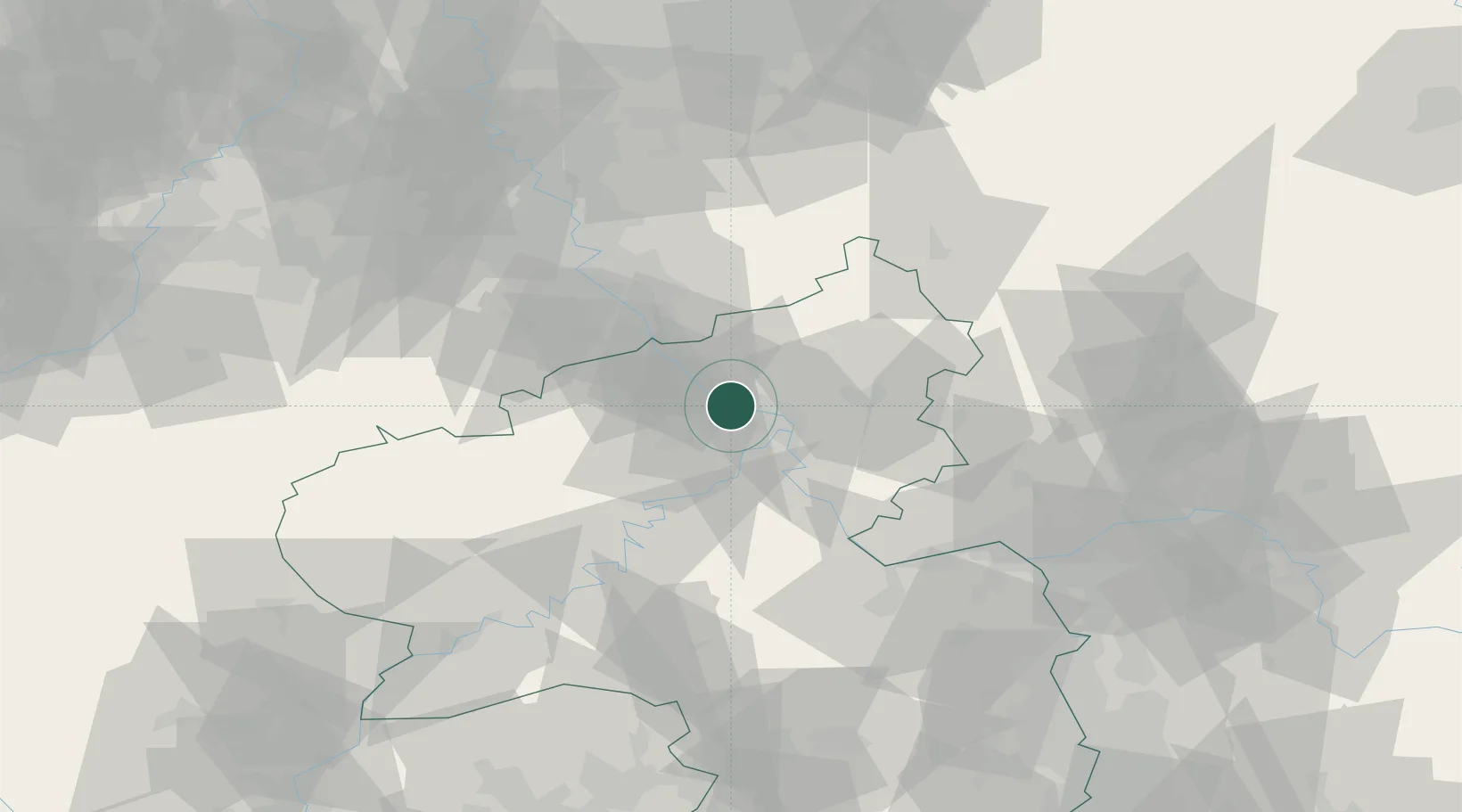
Place type
Populated place
Region
Rheinland-Pfalz
Population
29,599
Time zone
Europe/Berlin
Elevation
81 m
Logistics facilities
2
Location
Nearby Logistics Neighbours
Cities
- 1Weissenthurm3 km
- 2Kretz6 km
- 3Urmitz8 km
- 4Bassenheim8 km
- 5Bendorf/Rhein10 km
Airports
- 1Büchel Air Base39 km
- 2Cologne Bonn Airport52 km
- 3Siegerland Airport55 km
- 4Frankfurt-Hahn Airport56 km
- 5Nörvenich Air Base70 km
Trade Zones
- 1Rheinische Revier SWZ91 km
- 2Luxembourg Free Port124 km
- 3Freeport of Duisburg127 km
- 4ZFU La Cité Behren-lès-Forbach146 km
- 5ZFU Woippy-Metz170 km
DatabookThe Record of Consolidated Knowledge
Germany beyond logistics?