Large airport · Germany
Frankfurt-Hahn AirportEDFH
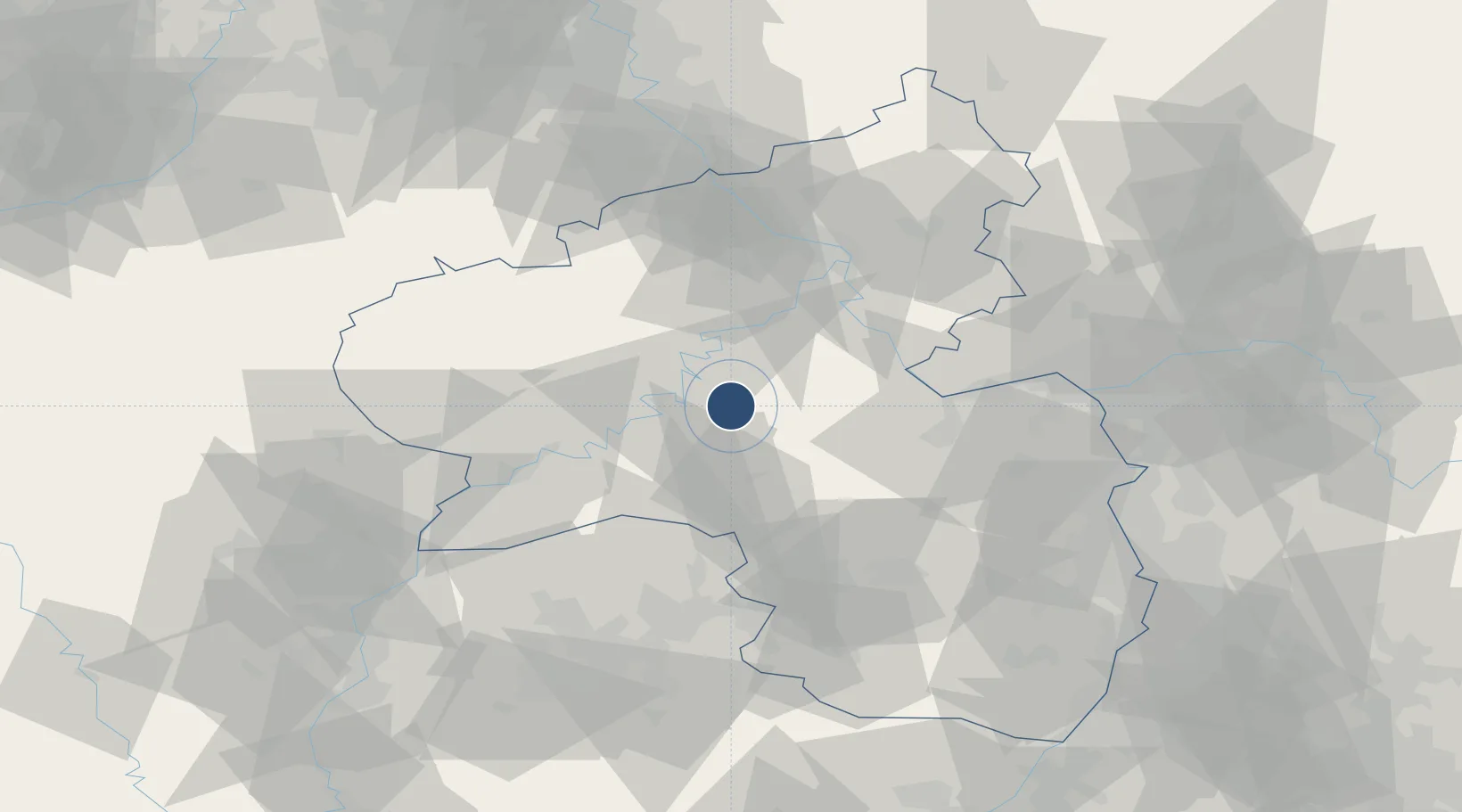
49.9464°, 7.2617°
12,467 ft
Longest runway
1
Runways
1,649 ft
Elevation
Runway & Layout

Radio Frequencies
ATIS
136.355 MHz
Hahn ATIS
TWR
119.655 MHz
Hahn Tower / Turm
TWR
120.905 MHz
Hahn Tower / Turm
GND
121.98 MHz
Hahn Grond / Rollkontrolle
APP
125.6 MHz
LANGEN RADAR
AFIS
123.525 MHz
Langen Information
Navaids
HAN NDB Hahn 376 kHz
HND DME Hahn 116.95 MHz
Runways · 1
| Runway | Dimensions | Surface | True heading | Lit |
|---|---|---|---|---|
| 03/21 | 12,467 × 148ft | Asphalt | 032° | ✓ |
Airport Specifications
IATA code
HHN
ICAO code
EDFH
Airport class
Large airport
Scheduled service
Yes
Runway surface
Asphalt
Served city
Frankfurt am Main (Lautzenhausen)
Location
Nearby Logistics Neighbours
Airports
- 1Büchel Air Base29 km
- 2Spangdahlem Air Base40 km
- 3Ramstein Air Base62 km
- 4Mainz-Finthen Airfield63 km
- 5Wiesbaden Army Airfield77 km
Cities
- 1Kirchberg10 km
- 2Kaimt10 km
- 3Kövenig11 km
- 4Wüschheim13 km
- 5Hottenbach13 km
Trade Zones
- 1Luxembourg Free Port82 km
- 2ZFU La Cité Behren-lès-Forbach90 km
- 3ZFU Woippy-Metz119 km
- 4ZFU Metz123 km
- 5Rheinische Revier SWZ124 km
DatabookThe Record of Consolidated Knowledge
Germany beyond logistics?