Transport Functions
Rail
Road
Hub Profile
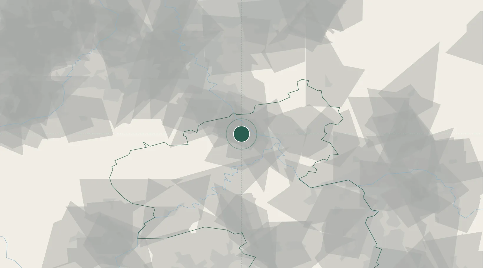
Place type
Local administrative seat
Region
Rheinland-Pfalz
Population
3,332
Time zone
Europe/Berlin
Elevation
181 m
Location
Nearby Logistics Neighbours
Cities
- 1Niederzissen4 km
- 2Kretz9 km
- 3Mendig9 km
- 4Kempenich10 km
- 5Andernach12 km
Airports
- 1Büchel Air Base34 km
- 2Cologne Bonn Airport47 km
- 3Frankfurt-Hahn Airport56 km
- 4Nörvenich Air Base60 km
- 5Siegerland Airport64 km
Trade Zones
- 1Rheinische Revier SWZ81 km
- 2Luxembourg Free Port117 km
- 3Freeport of Duisburg121 km
- 4ZFU La Cité Behren-lès-Forbach145 km
- 5ZFU Woippy-Metz165 km
DatabookThe Record of Consolidated Knowledge
Germany beyond logistics?