Medium airport · Germany
Büchel Air BaseETSB
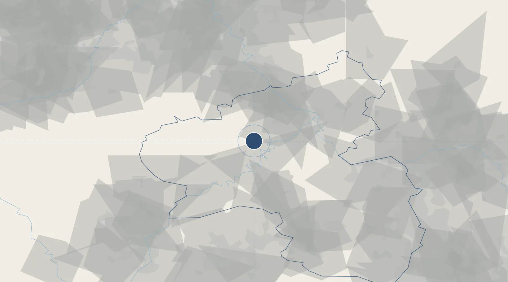
50.1738°, 7.0633°
8,225 ft
Longest runway
1
Runways
1,568 ft
Elevation
Runway & Layout

Radio Frequencies
TWR
122.1 MHz
A/D
125.6 MHz
LANGEN CON
ACC
38.715 MHz
RHEIN CON
RDR
34.462 MHz
RADAR
RDR
123.3 MHz
RADAR
Navaids
BUE TACAN Buchel 117.10 MHz
Runways · 1
| Runway | Dimensions | Surface | True heading | Lit |
|---|---|---|---|---|
| 03/21 | 8,225 × 148ft | Asphalt | 029° | ✓ |
Airport Specifications
ICAO code
ETSB
Airport class
Medium airport
Scheduled service
No
Runway surface
Asphalt
Served city
Alflen
Location
Nearby Logistics Neighbours
Airports
- 1Frankfurt-Hahn Airport29 km
- 2Spangdahlem Air Base34 km
- 3Cologne Bonn Airport77 km
- 4Nörvenich Air Base79 km
- 5Mainz-Finthen Airfield81 km
Cities
- 1Leienkaul5 km
- 2Kaisersesch9 km
- 3Masburg9 km
- 4Neef10 km
- 5Gefell12 km
Trade Zones
- 1Luxembourg Free Port85 km
- 2Rheinische Revier SWZ95 km
- 3ZFU La Cité Behren-lès-Forbach112 km
- 4ZFU Woippy-Metz131 km
- 5ZFU Metz135 km
DatabookThe Record of Consolidated Knowledge
Germany beyond logistics?