Transport Functions
Port
Road
Hub Profile
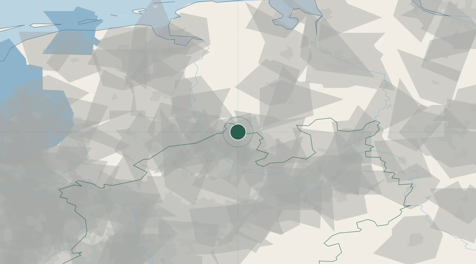
Place type
Local administrative seat
Region
North Rhine-Westphalia
Population
11,800
Time zone
Europe/Berlin
Elevation
51 m
Location
Nearby Logistics Neighbours
Cities
- 1Schapen10 km
- 2Merzen14 km
- 3Riesenbeck15 km
- 4Achmer15 km
- 5Pente17 km
Airports
- 1Münster Osnabrück Airport28 km
- 2Diepholz Air Base48 km
- 3Twente Airport58 km
- 4Bielefeld Airport73 km
- 5Bückeburg Air Base94 km
Trade Zones
DatabookThe Record of Consolidated Knowledge
Germany beyond logistics?