UN/LOCODE hub · Germany
DEDNT

Dorenthe

52.2167°, 7.6833°
2
Transport functions

Transport Functions

Port
Road
UN/LOCODE

Hub Profile

Region
NW
GeoNames

Location

Location of DEDNT
Natural Earth 10m (public domain) · NW · DEDNT · 52.22, 7.68GoogleOSMYandex

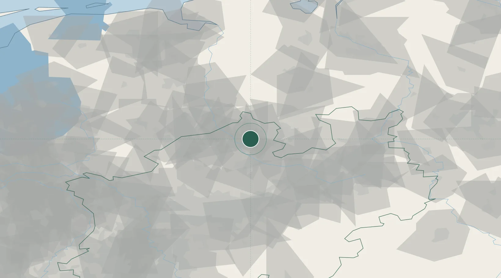
Nearby Logistics Neighbours

Cities
  1. 1Riesenbeck7 km
  2. 2Schmedehausen13 km
  3. 3Recke19 km
  4. 4Schapen20 km
  5. 5Hagen am Teutoburger Wald21 km
Nearest neighbours — logibook spatial index (haversine) over the source coordinates
Ports
  1. 1Papenburg100 km
  2. 2Oldenburg106 km
  3. 3Leer114 km
  4. 4Elsfleth125 km
  5. 5Bremen125 km
Nearest neighbours — logibook spatial index (haversine) over the source coordinates
Airports
  1. 1Münster Osnabrück Airport9 km
  2. 2Twente Airport55 km
  3. 3Diepholz Air Base61 km
  4. 4Bielefeld Airport65 km
  5. 5Dortmund Airport78 km
Nearest neighbours — logibook spatial index (haversine) over the source coordinates
Trade Zones
  1. 1Freeport of Duisburg114 km
  2. 2Freeport of Bremerhaven (Freihafen Bremerhaven)122 km
  3. 3Freeport of Emden129 km
  4. 4Rheinische Revier SWZ171 km
  5. 5Freeport of Cuxhaven (Freihafen Cuxhaven)188 km
Nearest neighbours — logibook spatial index (haversine) over the source coordinates
DatabookThe Record of Consolidated Knowledge
Germany beyond logistics?
Browse databook

All Sources

LocationsUN/LOCODE
UN/LOCODE — free
Portsthe NGA World Port Index
Public domain (US gov)
AirportsOurAirports
Public domain
Trade Zonesthe World Bank SEZ database
CC BY 4.0
Trade ZonesOpen Zone Map
CC BY
← Germany locations