Transport Functions
Port
Road
Hub Profile
Place type
Locality
Region
North Rhine-Westphalia
Time zone
Europe/Berlin
Elevation
51 m
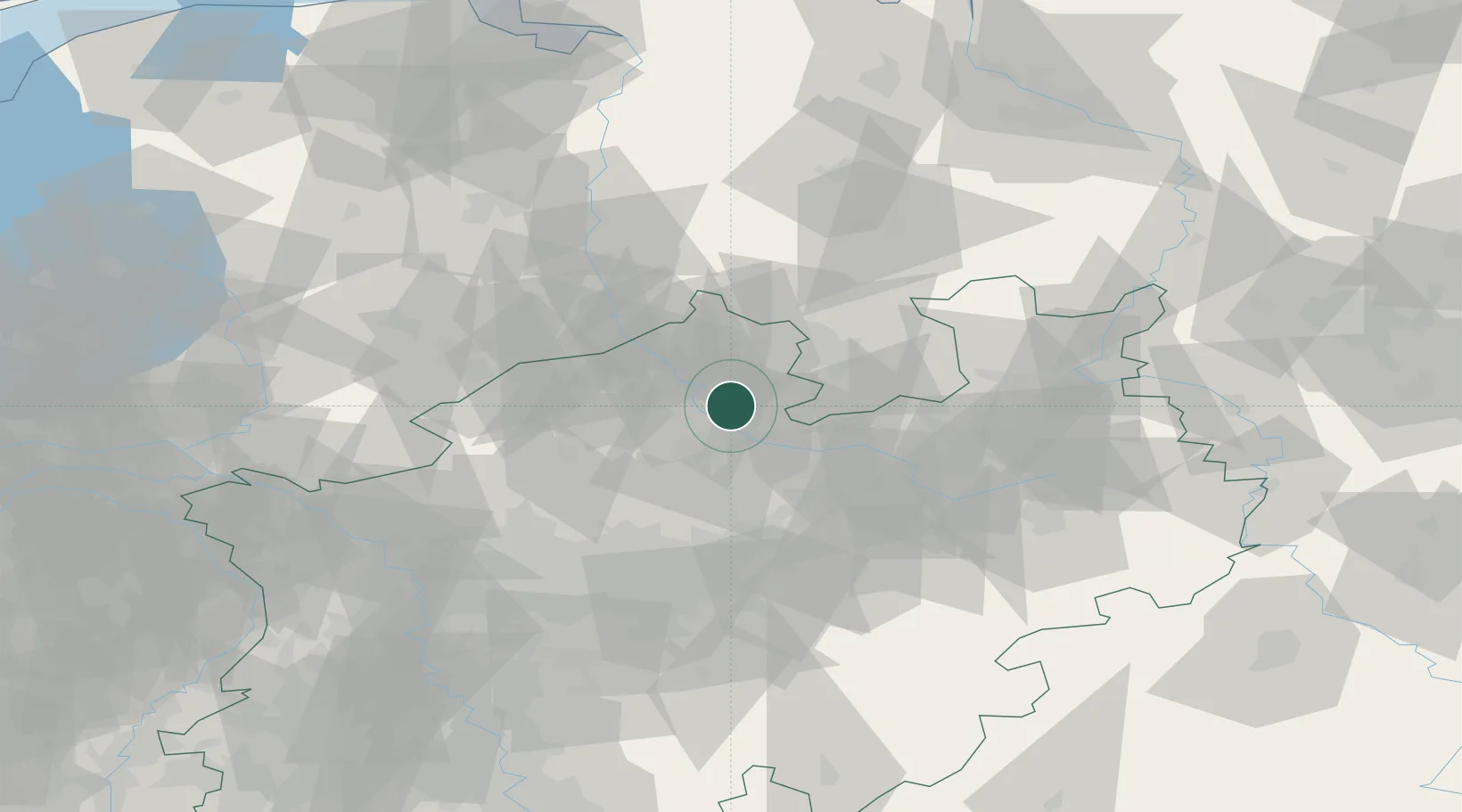
Location
Nearby Logistics Neighbours
Cities
- 1Dorenthe13 km
- 2Münster16 km
- 3Lienen19 km
- 4Riesenbeck20 km
- 5Hagen am Teutoburger Wald21 km
Airports
- 1Münster Osnabrück Airport4 km
- 2Bielefeld Airport59 km
- 3Twente Airport60 km
- 4Dortmund Airport65 km
- 5Diepholz Air Base69 km
Trade Zones
DatabookThe Record of Consolidated Knowledge
Germany beyond logistics?