Transport Functions
Multimodal
Hub Profile
Place type
Local administrative seat
Region
Baden-Wurttemberg
Population
11,078
Time zone
Europe/Berlin
Elevation
125 m
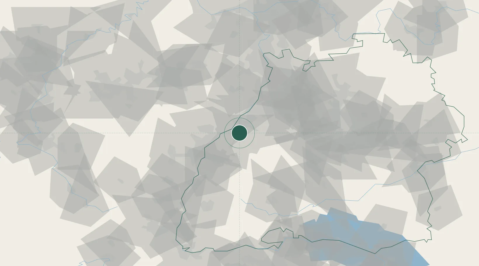
Location
Nearby Logistics Neighbours
Cities
- 1Baden-Baden6 km
- 2Vimbuch7 km
- 3Kuppenheim8 km
- 4Rastatt10 km
- 5Bühl10 km
Airports
- 1Karlsruhe Baden-Baden Airport7 km
- 2Strasbourg Airport47 km
- 3Lahr Airport51 km
- 4Phalsbourg-Bourscheid Air Base71 km
- 5Stuttgart Airport78 km
Trade Zones
- 1ZFU Neuhof39 km
- 2ZFU Hautepierre40 km
- 3ZFU La Cité Behren-lès-Forbach101 km
- 4ZFU Mulhouse129 km
- 5ZFU Maxéville, Laxou, et de Nancy147 km
DatabookThe Record of Consolidated Knowledge
Germany beyond logistics?