Transport Functions
Port
Rail
Road
Hub Profile
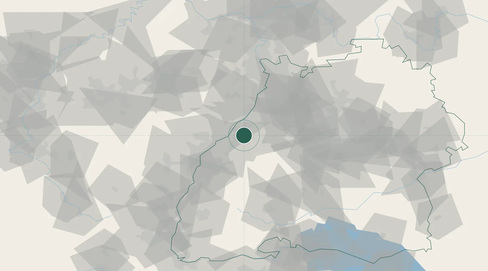
Place type
Populated place
Region
Baden-Wurttemberg
Population
7,533
Time zone
Europe/Berlin
Elevation
128 m
Location
Nearby Logistics Neighbours
Cities
- 1Rastatt5 km
- 2Baden-Baden7 km
- 3Ötigheim8 km
- 4Sinzheim8 km
- 5Malsch10 km
Airports
- 1Karlsruhe Baden-Baden Airport13 km
- 2Strasbourg Airport55 km
- 3Lahr Airport59 km
- 4Stuttgart Airport73 km
- 5Mannheim-City Airport76 km
Trade Zones
- 1ZFU Neuhof47 km
- 2ZFU Hautepierre48 km
- 3ZFU La Cité Behren-lès-Forbach104 km
- 4ZFU Mulhouse137 km
- 5ZFU Maxéville, Laxou, et de Nancy153 km
DatabookThe Record of Consolidated Knowledge
Germany beyond logistics?