Transport Functions
Rail
Road
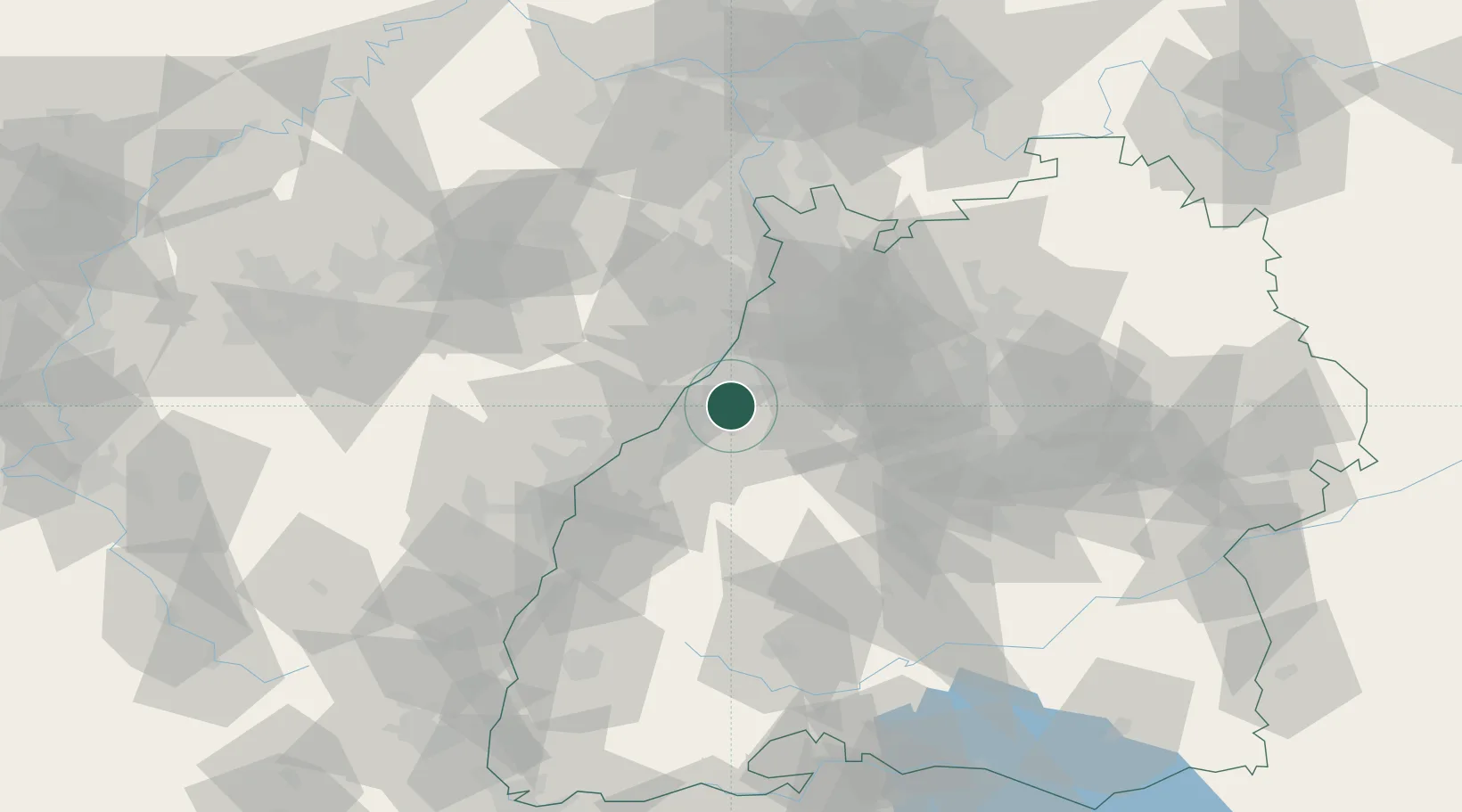
Hub Profile
Place type
Local administrative seat
Region
Baden-Wurttemberg
Population
14,243
Time zone
Europe/Berlin
Elevation
127 m
Location
Nearby Logistics Neighbours
Cities
- 1Ötigheim7 km
- 2Durmersheim7 km
- 3Rheinstetten10 km
- 4Kuppenheim10 km
- 5Rastatt10 km
Airports
- 1Karlsruhe Baden-Baden Airport22 km
- 2Strasbourg Airport64 km
- 3Mannheim-City Airport67 km
- 4Lahr Airport68 km
- 5Stuttgart Airport69 km
Trade Zones
- 1ZFU Neuhof57 km
- 2ZFU Hautepierre57 km
- 3ZFU La Cité Behren-lès-Forbach107 km
- 4ZFU Mulhouse146 km
- 5ZFU Maxéville, Laxou, et de Nancy160 km
DatabookThe Record of Consolidated Knowledge
Germany beyond logistics?