Transport Functions
Port
Multimodal
Hub Profile
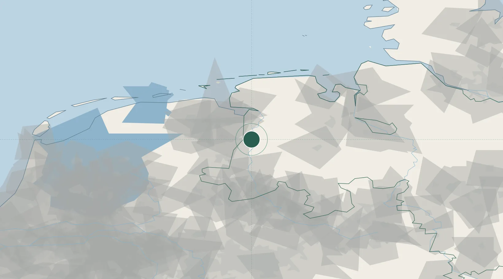
Place type
Local administrative seat
Region
Lower Saxony
Population
1,490
Time zone
Europe/Berlin
Elevation
7 m
Location
Nearby Logistics Neighbours
Cities
- 1Dörpen3 km
- 2Walchum4 km
- 3Heede (Emsland)5 km
- 4Herbrum8 km
- 5Bourtange8 km
Airports
- 1Emden Airport47 km
- 2Groningen Airport Eelde50 km
- 3Wittmundhafen Air Base70 km
- 4Norden-Norddeich Airport74 km
- 5Borkum Airport80 km
Trade Zones
DatabookThe Record of Consolidated Knowledge
Germany beyond logistics?