UN/LOCODE hub · Germany
DENWV

Vettweiss

50.7333°, 6.6000°
9,116
Population
1
Transport functions

Transport Functions

Multimodal
UN/LOCODE

Hub Profile

Place type
Local administrative seat
GeoNames
Region
North Rhine-Westphalia
GeoNames
Population
9,116
GeoNames
Time zone
Europe/Berlin
GeoNames
Elevation
161 m
GeoNames

Location

Location of DENWV
Natural Earth 10m (public domain) · North Rhine-Westphalia · DENWV · 50.73, 6.60GoogleOSMYandex

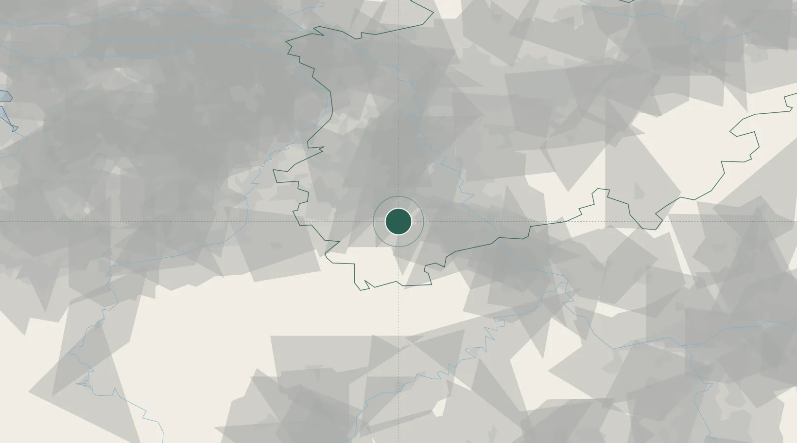
Nearby Logistics Neighbours

Cities
  1. 1Kettenheim2 km
  2. 2Nideggen9 km
  3. 3Sankt Vith10 km
  4. 4Merzenich12 km
  5. 5Kerpen-Buir15 km
Nearest neighbours — logibook spatial index (haversine) over the source coordinates
Ports
  1. 1Bruxelles159 km
  2. 2Antwerpen163 km
  3. 3Dordrecht181 km
  4. 4Rotterdam196 km
  5. 5Hansweert198 km
Nearest neighbours — logibook spatial index (haversine) over the source coordinates
Airports
  1. 1Nörvenich Air Base12 km
  2. 2Cologne Bonn Airport41 km
  3. 3Geilenkirchen Air Base47 km
  4. 4Mönchengladbach Airport56 km
  5. 5Maastricht Aachen Airport62 km
Nearest neighbours — logibook spatial index (haversine) over the source coordinates
Trade Zones
  1. 1Rheinische Revier SWZ25 km
  2. 2Freeport of Duisburg79 km
  3. 3Luxembourg Free Port125 km
  4. 4ZFU Ronde Couture173 km
  5. 5ZFU La Cité Behren-lès-Forbach176 km
Nearest neighbours — logibook spatial index (haversine) over the source coordinates
DatabookThe Record of Consolidated Knowledge
Germany beyond logistics?
Browse databook

All Sources

LocationsUN/LOCODE
UN/LOCODE — free
LocationsGeoNames
CC BY 4.0
Portsthe NGA World Port Index
Public domain (US gov)
AirportsOurAirports
Public domain
Trade Zonesthe World Bank SEZ database
CC BY 4.0
Trade ZonesOpen Zone Map
CC BY
← Germany locations