Transport Functions
Rail
Road
Hub Profile
Place type
Local administrative seat
Region
North Rhine-Westphalia
Time zone
Europe/Berlin
Elevation
124 m
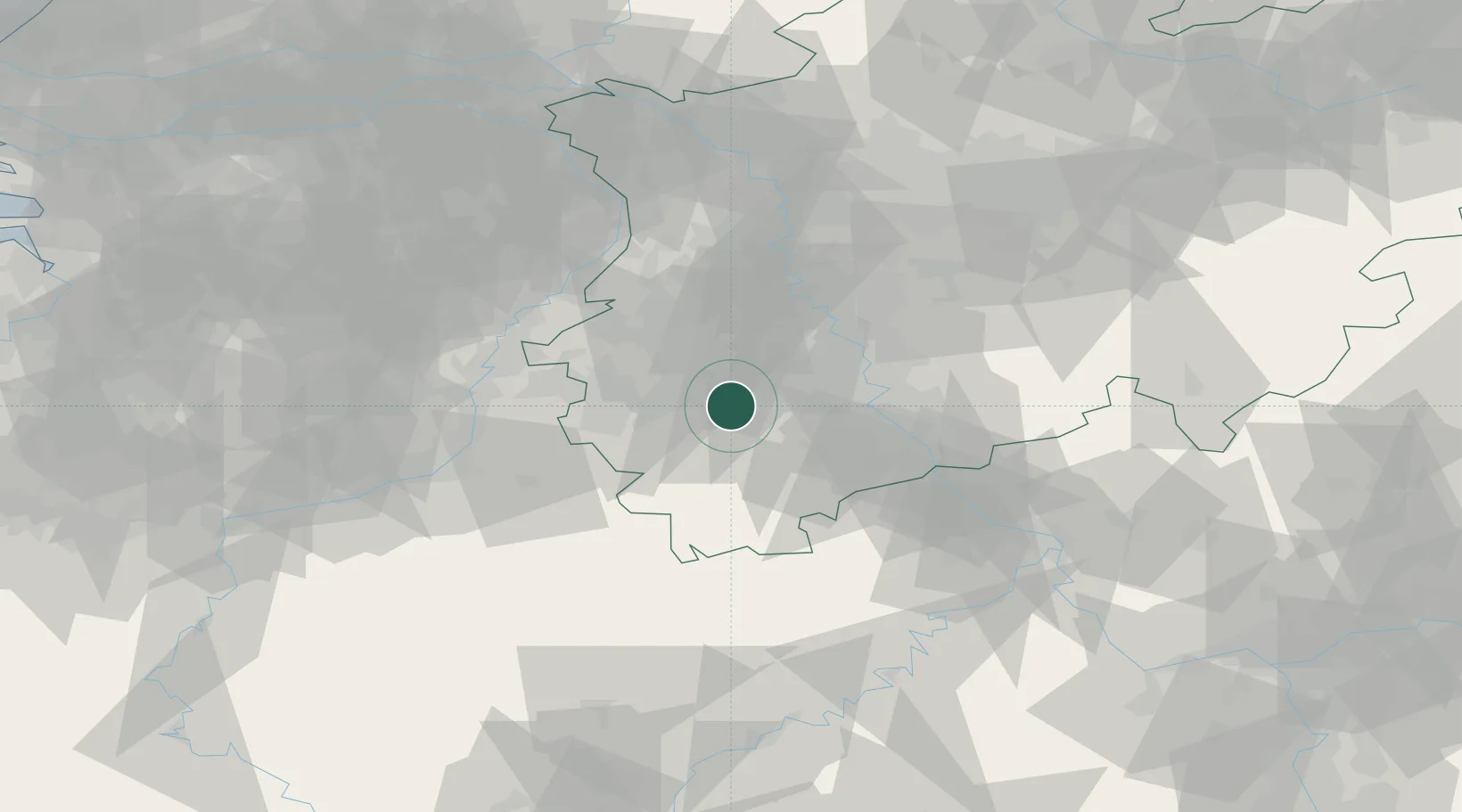
Location
Nearby Logistics Neighbours
Cities
- 1Kerpen-Buir5 km
- 2Kettenheim10 km
- 3Kerpen11 km
- 4Elsdorf11 km
- 5Vettweiss12 km
Airports
- 1Nörvenich Air Base9 km
- 2Geilenkirchen Air Base37 km
- 3Cologne Bonn Airport43 km
- 4Mönchengladbach Airport44 km
- 5Düsseldorf Airport53 km
Trade Zones
- 1Rheinische Revier SWZ14 km
- 2Freeport of Duisburg68 km
- 3Luxembourg Free Port135 km
- 4ZFU Ronde Couture177 km
- 5ZFU La Cité Behren-lès-Forbach187 km
DatabookThe Record of Consolidated Knowledge
Germany beyond logistics?