Transport Functions
Port
Rail
Road
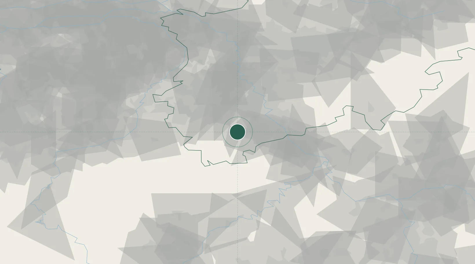
Location
Nearby Logistics Neighbours
Cities
- 1Vettweiss10 km
- 2Kettenheim12 km
- 3Weilerswist15 km
- 4Nideggen16 km
- 5Steinfeld21 km
Airports
- 1Nörvenich Air Base19 km
- 2Cologne Bonn Airport38 km
- 3Geilenkirchen Air Base57 km
- 4Büchel Air Base61 km
- 5Mönchengladbach Airport64 km
Trade Zones
- 1Rheinische Revier SWZ35 km
- 2Freeport of Duisburg87 km
- 3Luxembourg Free Port119 km
- 4ZFU La Cité Behren-lès-Forbach168 km
- 5ZFU Woippy-Metz173 km
DatabookThe Record of Consolidated Knowledge
Belgium beyond logistics?