Transport Functions
Road
Multimodal
Hub Profile
Place type
Populated place
Region
North Rhine-Westphalia
Population
10,727
Time zone
Europe/Berlin
Elevation
301 m
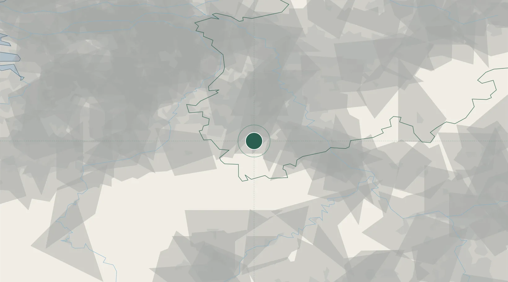
Location
Nearby Logistics Neighbours
Cities
- 1Vettweiss9 km
- 2Kettenheim10 km
- 3Merzenich15 km
- 4Sankt Vith16 km
- 5Langerwehe16 km
Airports
- 1Nörvenich Air Base19 km
- 2Geilenkirchen Air Base42 km
- 3Cologne Bonn Airport50 km
- 4Maastricht Aachen Airport55 km
- 5Mönchengladbach Airport59 km
Trade Zones
- 1Rheinische Revier SWZ24 km
- 2Freeport of Duisburg83 km
- 3Luxembourg Free Port119 km
- 4ZFU Ronde Couture164 km
- 5ZFU La Cité Behren-lès-Forbach173 km
DatabookThe Record of Consolidated Knowledge
Germany beyond logistics?