Transport Functions
Rail
Road
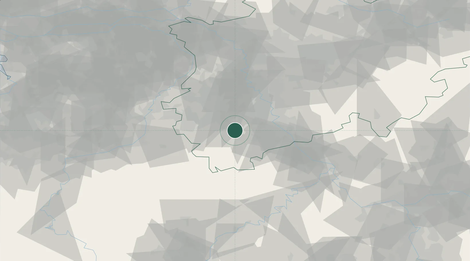
Hub Profile
Place type
Populated place
Region
North Rhine-Westphalia
Time zone
Europe/Berlin
Elevation
151 m
Location
Nearby Logistics Neighbours
Cities
- 1Vettweiss2 km
- 2Nideggen10 km
- 3Merzenich10 km
- 4Sankt Vith12 km
- 5Kerpen-Buir13 km
Airports
- 1Nörvenich Air Base10 km
- 2Cologne Bonn Airport40 km
- 3Geilenkirchen Air Base46 km
- 4Mönchengladbach Airport54 km
- 5Maastricht Aachen Airport61 km
Trade Zones
- 1Rheinische Revier SWZ24 km
- 2Freeport of Duisburg78 km
- 3Luxembourg Free Port126 km
- 4ZFU Ronde Couture174 km
- 5ZFU La Cité Behren-lès-Forbach178 km
DatabookThe Record of Consolidated Knowledge
Germany beyond logistics?