Transport Functions
Rail
Road
Hub Profile
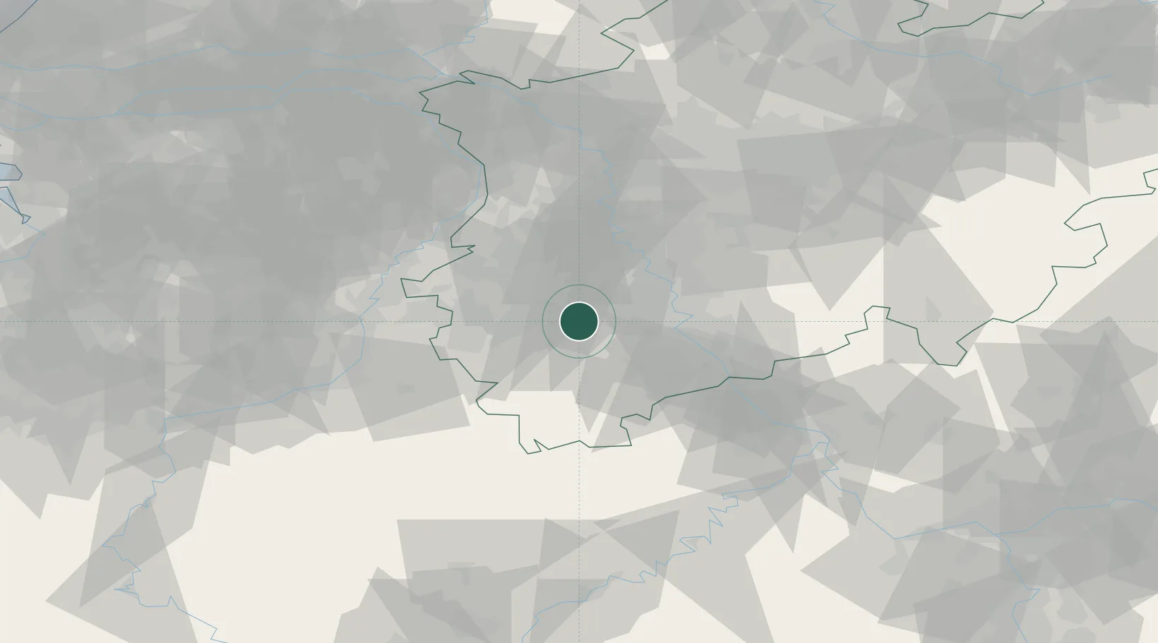
Region
NW
Location
Nearby Logistics Neighbours
Cities
- 1Merzenich5 km
- 2Kerpen7 km
- 3Elsdorf8 km
- 4Bergheim12 km
- 5Kettenheim13 km
Airports
- 1Nörvenich Air Base7 km
- 2Cologne Bonn Airport39 km
- 3Geilenkirchen Air Base39 km
- 4Mönchengladbach Airport41 km
- 5Düsseldorf Airport49 km
Trade Zones
- 1Rheinische Revier SWZ15 km
- 2Freeport of Duisburg65 km
- 3Luxembourg Free Port139 km
- 4ZFU Ronde Couture182 km
- 5ZFU La Cité Behren-lès-Forbach191 km
DatabookThe Record of Consolidated Knowledge
Germany beyond logistics?