Transport Functions
Port
Rail
Road
Hub Profile
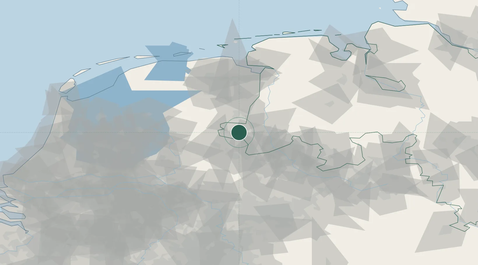
Place type
Populated place
Region
Groningen
Population
28,649
Time zone
Europe/Amsterdam
Elevation
0 m
Location
Nearby Logistics Neighbours
Airports
- 1Twente Airport27 km
- 2Münster Osnabrück Airport67 km
- 3Groningen Airport Eelde71 km
- 4Deelen Air Base88 km
- 5Diepholz Air Base96 km
Trade Zones
DatabookThe Record of Consolidated Knowledge
Netherlands beyond logistics?