Transport Functions
Rail
Road
Hub Profile
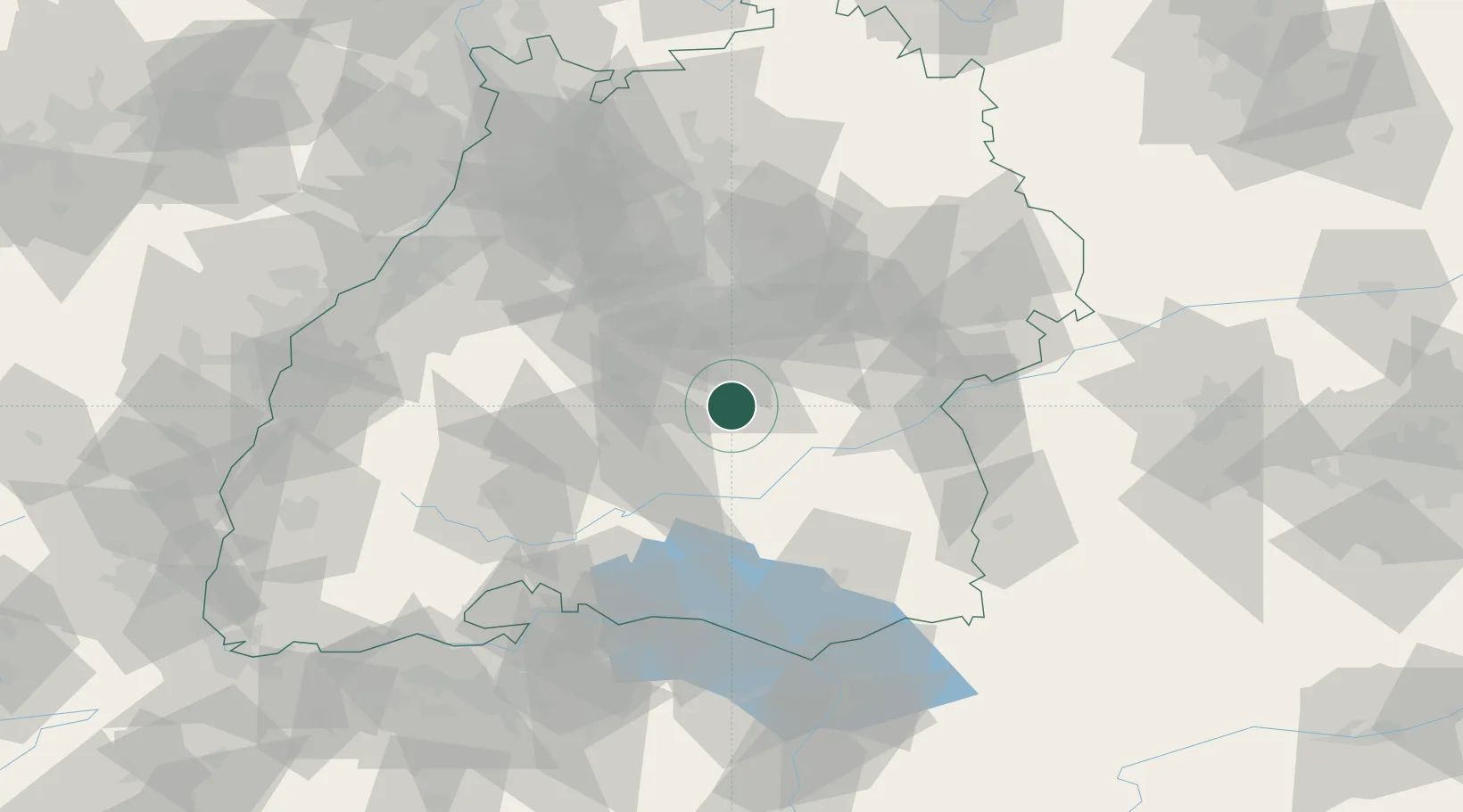
Region
BW
Location
Nearby Logistics Neighbours
Cities
- 1Lichtenstein (Reutlingen)6 km
- 2Eningen unter Achalm11 km
- 3Neufra17 km
- 4Burladingen17 km
- 5Nehren17 km
Ports
- 1Porto Di Lido-Venezia408 km
- 2Nogaro414 km
- 3Porto Di Chioggia419 km
- 4Grado426 km
- 5Monfalcone433 km
Airports
Trade Zones
- 1ZFU Neuhof113 km
- 2ZFU Hautepierre120 km
- 3ZFU Mulhouse161 km
- 4ZFU La Cité Behren-lès-Forbach193 km
- 5ZFU Belfort202 km
DatabookThe Record of Consolidated Knowledge
Germany beyond logistics?