UN/LOCODE hub · Germany
DENDQ

Dreisbach

50.6167°, 7.9333°
606
Population
2
Transport functions

Transport Functions

Port
Multimodal
UN/LOCODE

Hub Profile

Place type
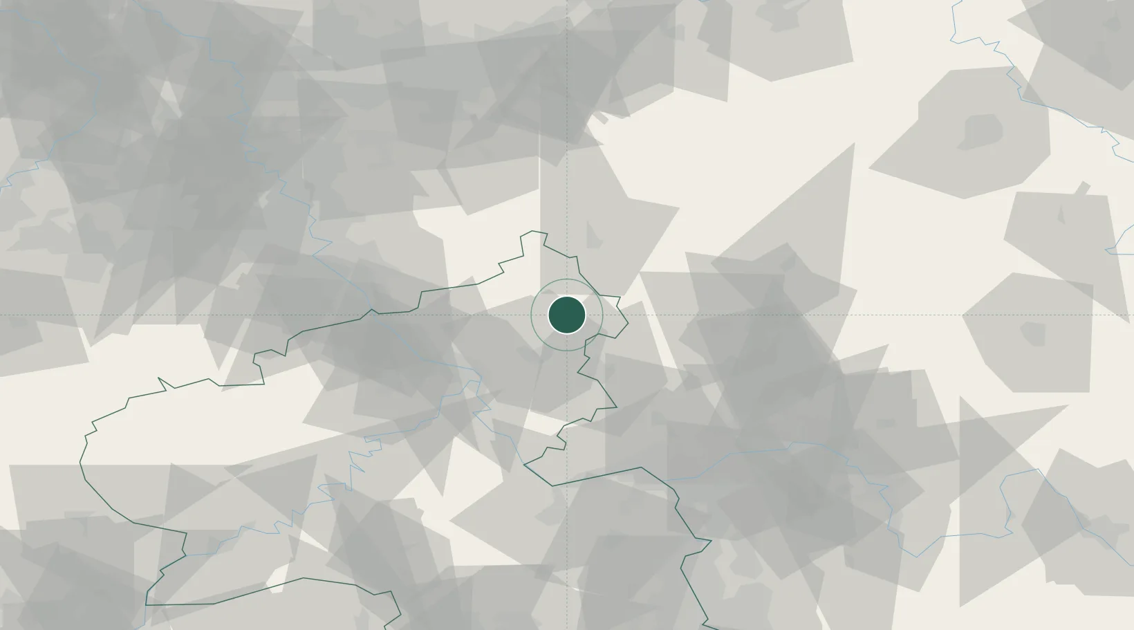
Local administrative seat
GeoNames
Region
Rheinland-Pfalz
GeoNames
Population
606
GeoNames
Time zone
Europe/Berlin
GeoNames
Elevation
460 m
GeoNames

Location

Location of DENDQ
Natural Earth 10m (public domain) · Rheinland-Pfalz · DENDQ · 50.62, 7.93GoogleOSMYandex

Nearby Logistics Neighbours

Cities
  1. 1Hardt2 km
  2. 2Nistertal2 km
  3. 3Unnau3 km
  4. 4Hohn4 km
  5. 5Stockhausen-Illfurth5 km
Nearest neighbours — logibook spatial index (haversine) over the source coordinates
Ports
  1. 1Bruxelles254 km
  2. 2Antwerpen257 km
  3. 3Dordrecht265 km
  4. 4Oldenburg279 km
  5. 5Papenburg279 km
Nearest neighbours — logibook spatial index (haversine) over the source coordinates
Airports
  1. 1Siegerland Airport15 km
  2. 2Cologne Bonn Airport62 km
  3. 3Wiesbaden Army Airfield69 km
  4. 4Mainz-Finthen Airfield74 km
  5. 5Büchel Air Base79 km
Nearest neighbours — logibook spatial index (haversine) over the source coordinates
Trade Zones
  1. 1Rheinische Revier SWZ114 km
  2. 2Freeport of Duisburg132 km
  3. 3Luxembourg Free Port163 km
  4. 4ZFU La Cité Behren-lès-Forbach177 km
  5. 5ZFU Woippy-Metz207 km
Nearest neighbours — logibook spatial index (haversine) over the source coordinates
DatabookThe Record of Consolidated Knowledge
Germany beyond logistics?
Browse databook

All Sources

LocationsUN/LOCODE
UN/LOCODE — free
LocationsGeoNames
CC BY 4.0
Portsthe NGA World Port Index
Public domain (US gov)
AirportsOurAirports
Public domain
Trade Zonesthe World Bank SEZ database
CC BY 4.0
Trade ZonesOpen Zone Map
CC BY
← Germany locations