Medium airport · Germany
Wiesbaden Army AirfieldETOU
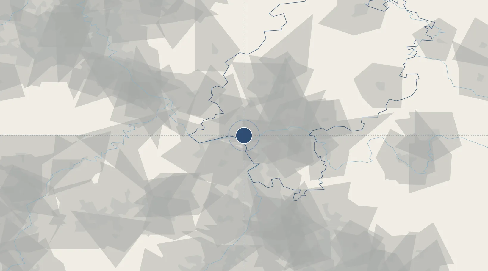
50.0498°, 8.3254°
7,065 ft
Longest runway
1
Runways
461 ft
Elevation
Runway & Layout

Radio Frequencies
ATIS
139.525 MHz
TWR
30.1 MHz
GND
138.55 MHz
APP
120.8 MHz
LANGEN ARR
DEP
120.15 MHz
LANGEN DEP
AAS
119.15 MHz
LANGEN INFO
EMR
40.5 MHz
EMERG FM
OPS
74.1 MHz
PMSV
140.3 MHz
PMSV METRO
Navaids
WBD NDB Wiesbaden 399 kHz
WIB TACAN Wiesbaden 114.10 MHz
Runways · 1
| Runway | Dimensions | Surface | True heading | Lit |
|---|---|---|---|---|
| 07/25 | 7,065 × 120ft | Asphalt | 073° | ✓ |
Airport Specifications
IATA code
WIE
ICAO code
ETOU
Airport class
Medium airport
Scheduled service
No
Runway surface
Asphalt
Served city
Wiesbaden
Location
Nearby Logistics Neighbours
Airports
- 1Mainz-Finthen Airfield16 km
- 2Frankfurt Main Airport17 km
- 3Frankfurt-Egelsbach Airport25 km
- 4Mannheim-City Airport66 km
- 5Siegerland Airport75 km
Cities
- 1Mainz Kastel4 km
- 2Mainz6 km
- 3Mainz-Kostheim6 km
- 4Bischofsheim6 km
- 5Langenhain7 km
Trade Zones
- 1ZFU La Cité Behren-lès-Forbach141 km
- 2Luxembourg Free Port158 km
- 3Rheinische Revier SWZ168 km
- 4ZFU Hautepierre168 km
- 5ZFU Neuhof173 km
DatabookThe Record of Consolidated Knowledge
Germany beyond logistics?