Transport Functions
Port
Multimodal
Hub Profile
Place type
Local administrative seat
Region
Rheinland-Pfalz
Population
3,238
Time zone
Europe/Berlin
Elevation
507 m
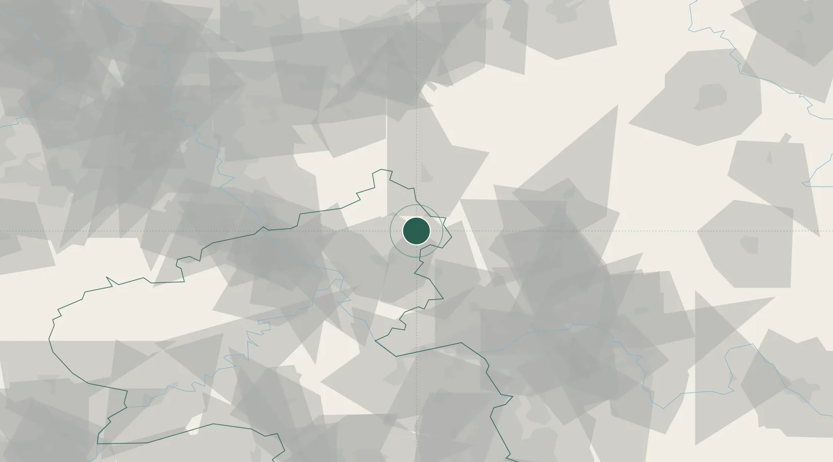
Location
Nearby Logistics Neighbours
Cities
- 1Dreisbach4 km
- 2Stockhausen-Illfurth4 km
- 3Neustadt4 km
- 4Hardt5 km
- 5Nistertal6 km
Airports
- 1Siegerland Airport12 km
- 2Cologne Bonn Airport65 km
- 3Wiesbaden Army Airfield68 km
- 4Mainz-Finthen Airfield73 km
- 5Frankfurt Main Airport77 km
Trade Zones
- 1Rheinische Revier SWZ117 km
- 2Freeport of Duisburg134 km
- 3Luxembourg Free Port166 km
- 4ZFU La Cité Behren-lès-Forbach178 km
- 5ZFU Woippy-Metz209 km
DatabookThe Record of Consolidated Knowledge
Germany beyond logistics?