Transport Functions
Rail
Road
Hub Profile
Region
RP
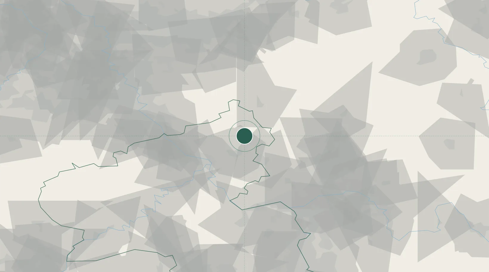
Location
Nearby Logistics Neighbours
Cities
- 1Unnau2 km
- 2Hardt2 km
- 3Dreisbach2 km
- 4Langenhahn6 km
- 5Norken6 km
Airports
- 1Siegerland Airport16 km
- 2Cologne Bonn Airport60 km
- 3Wiesbaden Army Airfield70 km
- 4Mainz-Finthen Airfield74 km
- 5Büchel Air Base77 km
Trade Zones
- 1Rheinische Revier SWZ112 km
- 2Freeport of Duisburg130 km
- 3Luxembourg Free Port162 km
- 4ZFU La Cité Behren-lès-Forbach176 km
- 5ZFU Woippy-Metz206 km
DatabookThe Record of Consolidated Knowledge
Germany beyond logistics?