Transport Functions
Road
Multimodal
Hub Profile
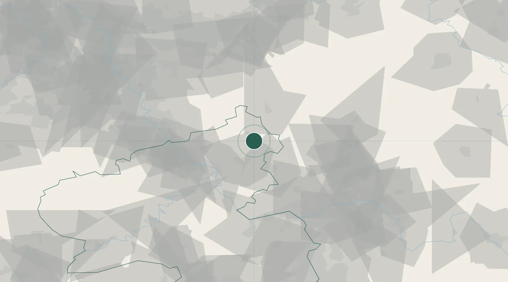
Place type
Local administrative seat
Region
Rheinland-Pfalz
Time zone
Europe/Berlin
Elevation
420 m
Location
Nearby Logistics Neighbours
Cities
- 1Unnau1 km
- 2Dreisbach2 km
- 3Nistertal2 km
- 4Norken4 km
- 5Stockhausen-Illfurth5 km
Airports
- 1Siegerland Airport14 km
- 2Cologne Bonn Airport60 km
- 3Wiesbaden Army Airfield71 km
- 4Mainz-Finthen Airfield76 km
- 5Büchel Air Base79 km
Trade Zones
- 1Rheinische Revier SWZ112 km
- 2Freeport of Duisburg130 km
- 3Luxembourg Free Port164 km
- 4ZFU La Cité Behren-lès-Forbach178 km
- 5ZFU Woippy-Metz208 km
DatabookThe Record of Consolidated Knowledge
Germany beyond logistics?