UN/LOCODE hub · Germany
DESRP

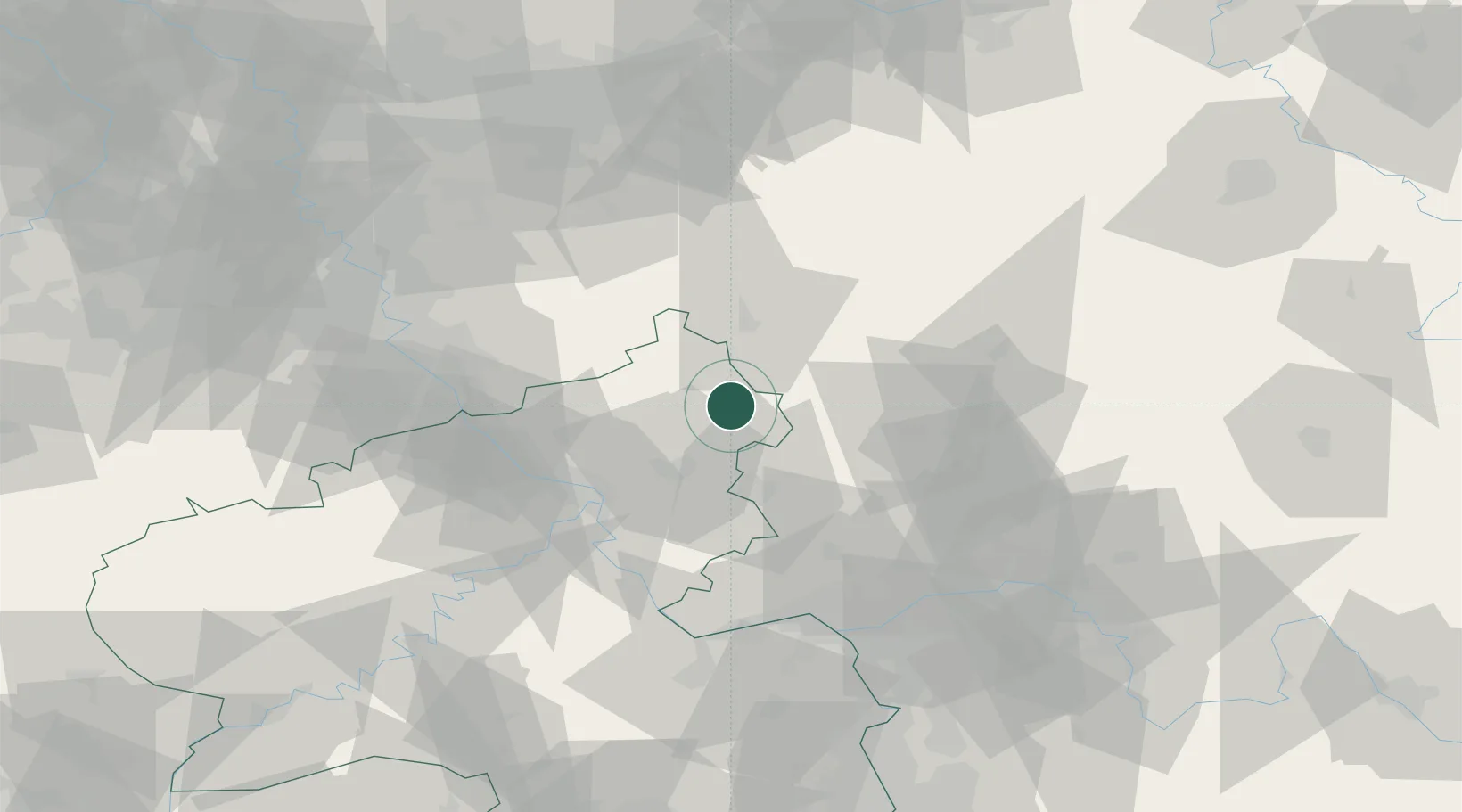
Stockhausen-Illfurth

50.6500°, 7.9833°
486
Population
2
Transport functions

Transport Functions

Port
Multimodal
UN/LOCODE

Hub Profile

Place type
Local administrative seat
GeoNames
Region
Rheinland-Pfalz
GeoNames
Population
486
GeoNames
Time zone
Europe/Berlin
GeoNames
Elevation
505 m
GeoNames

Location

Location of DESRP
Natural Earth 10m (public domain) · Rheinland-Pfalz · DESRP · 50.65, 7.98GoogleOSMYandex

Nearby Logistics Neighbours

Cities
  1. 1Hof3 km
  2. 2Hohn4 km
  3. 3Neustadt4 km
  4. 4Hardt5 km
  5. 5Dreisbach5 km
Nearest neighbours — logibook spatial index (haversine) over the source coordinates
Ports
  1. 1Bruxelles257 km
  2. 2Antwerpen259 km
  3. 3Dordrecht266 km
  4. 4Oldenburg275 km
  5. 5Papenburg276 km
Nearest neighbours — logibook spatial index (haversine) over the source coordinates
Airports
  1. 1Siegerland Airport10 km
  2. 2Cologne Bonn Airport64 km
  3. 3Wiesbaden Army Airfield71 km
  4. 4Mainz-Finthen Airfield77 km
  5. 5Frankfurt Main Airport80 km
Nearest neighbours — logibook spatial index (haversine) over the source coordinates
Trade Zones
  1. 1Rheinische Revier SWZ116 km
  2. 2Freeport of Duisburg132 km
  3. 3Luxembourg Free Port169 km
  4. 4ZFU La Cité Behren-lès-Forbach181 km
  5. 5ZFU Woippy-Metz212 km
Nearest neighbours — logibook spatial index (haversine) over the source coordinates
DatabookThe Record of Consolidated Knowledge
Germany beyond logistics?
Browse databook

All Sources

LocationsUN/LOCODE
UN/LOCODE — free
LocationsGeoNames
CC BY 4.0
Portsthe NGA World Port Index
Public domain (US gov)
AirportsOurAirports
Public domain
Trade Zonesthe World Bank SEZ database
CC BY 4.0
Trade ZonesOpen Zone Map
CC BY
← Germany locations