Transport Functions
Multimodal
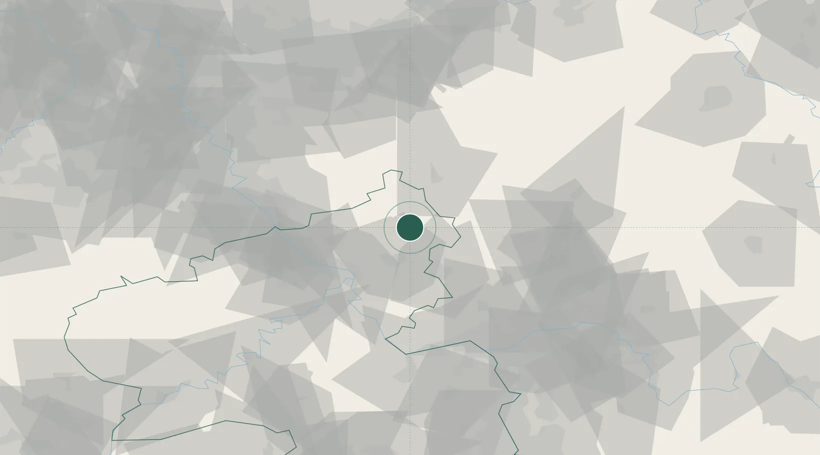
Hub Profile
Place type
Local administrative seat
Region
Rheinland-Pfalz
Population
1,932
Time zone
Europe/Berlin
Elevation
382 m
Location
Nearby Logistics Neighbours
Cities
- 1Hardt1 km
- 2Nistertal2 km
- 3Dreisbach3 km
- 4Norken4 km
- 5Stockhausen-Illfurth6 km
Airports
- 1Siegerland Airport15 km
- 2Cologne Bonn Airport59 km
- 3Wiesbaden Army Airfield72 km
- 4Mainz-Finthen Airfield76 km
- 5Büchel Air Base78 km
Trade Zones
- 1Rheinische Revier SWZ111 km
- 2Freeport of Duisburg129 km
- 3Luxembourg Free Port163 km
- 4ZFU La Cité Behren-lès-Forbach177 km
- 5ZFU Woippy-Metz207 km
DatabookThe Record of Consolidated Knowledge
Germany beyond logistics?