Large airport · Germany
Berlin Brandenburg AirportEDDB
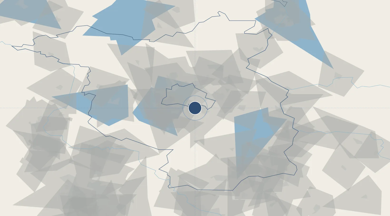
52.3617°, 13.5023°
13,123 ft
Longest runway
2
Runways
157 ft
Elevation
Runway & Layout

Radio Frequencies
ATIS
123.78 MHz
Berlin ATIS
ATIS
133.63 MHz
Berlin VFR ATIS
TWR
118.805 MHz
Berlin Tower (Süd)
TWR
120.03 MHz
Berlin Tower (Nord)
GND
129.505 MHz
Berlin Ground
AFIS
132.65 MHz
Langen Information
VOLMET
128.405 MHz
Berlin Volmet
Runways · 2
| Runway | Dimensions | Surface | True heading | Lit |
|---|---|---|---|---|
| 06R/24L | 13,123 × 197ft | Asphalt / concrete | 069° | ✓ |
| 06L/24R | 11,811 × 148ft | ASPH | 069° | ✓ |
Airport Specifications
IATA code
BER
ICAO code
EDDB
Airport class
Large airport
Scheduled service
Yes
Runway surface
Asphalt / concrete
Served city
Berlin
Location
Nearby Logistics Neighbours
Airports
- 1Holzdorf Air Base70 km
- 2Zerbst Airfield101 km
- 3Leipzig/Halle Airport136 km
- 4Dresden Airport138 km
- 5Neubrandenburg Trollenhagen Airport139 km
Cities
- 1Berlin-Schönefeld Apt3 km
- 2Gross Kienitz4 km
- 3Rudow6 km
- 4Mahlow7 km
- 5Blankenfelde-Mahlow8 km
Ports
- 1Szczecin137 km
- 2Police152 km
- 3Swinoujscie180 km
- 4Wolgast189 km
- 5Rostock214 km
Trade Zones
- 1Kostrzyń-Słubice SEZ81 km
- 2Szczecin Duty Free Zone138 km
- 3Swinoujscie Duty Free Zone178 km
- 4Legnica SEZ (Legnicka SSE)206 km
- 5Most - Joseph Industrial Zone209 km
DatabookThe Record of Consolidated Knowledge
Germany beyond logistics?