Transport Functions
Multimodal
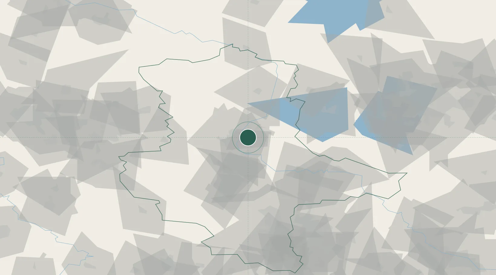
Hub Profile
Region
ST
Location
Nearby Logistics Neighbours
Cities
- 1Hohenwarthe7 km
- 2Rothensee7 km
- 3Heinrichsberg10 km
- 4Burg bei Magdeburg11 km
- 5Gommern12 km
Ports
- 1Wismar192 km
- 2Hamburg196 km
- 3Lubeck202 km
- 4Lubeck-Travemunde207 km
- 5Rostock215 km
Airports
- 1Zerbst Airfield33 km
- 2Braunschweig-Wolfsburg Airport84 km
- 3Leipzig/Halle Airport91 km
- 4Holzdorf Air Base107 km
- 5Berlin Brandenburg Airport120 km
Trade Zones
DatabookThe Record of Consolidated Knowledge
Germany beyond logistics?