Transport Functions
Road
Multimodal
Hub Profile
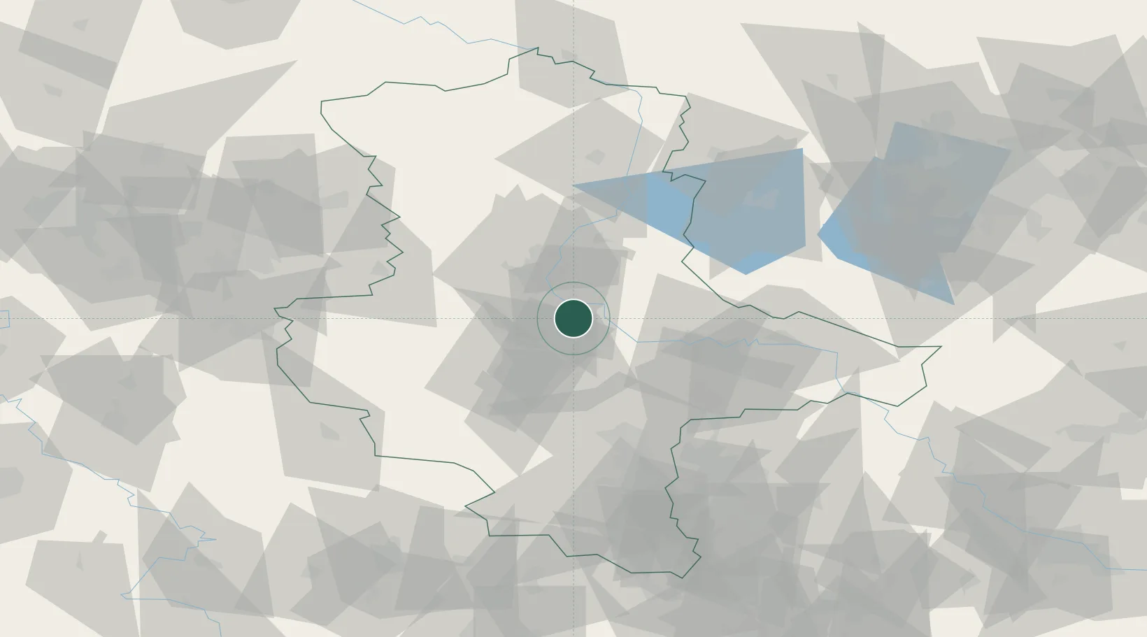
Place type
Populated place
Region
Saxony-Anhalt
Population
557
Time zone
Europe/Berlin
Elevation
53 m
Location
Nearby Logistics Neighbours
Cities
- 1Schönebeck6 km
- 2Eickendorf7 km
- 3Calbe7 km
- 4Biere8 km
- 5Foerderstedt12 km
Ports
- 1Hamburg215 km
- 2Wismar216 km
- 3Lubeck225 km
- 4Lubeck-Travemunde230 km
- 5Butzfleth241 km
Airports
- 1Zerbst Airfield26 km
- 2Leipzig/Halle Airport69 km
- 3Braunschweig-Wolfsburg Airport91 km
- 4Holzdorf Air Base99 km
- 5Leipzig–Altenburg Airport121 km
Trade Zones
DatabookThe Record of Consolidated Knowledge
Germany beyond logistics?