Transport Functions
Multimodal
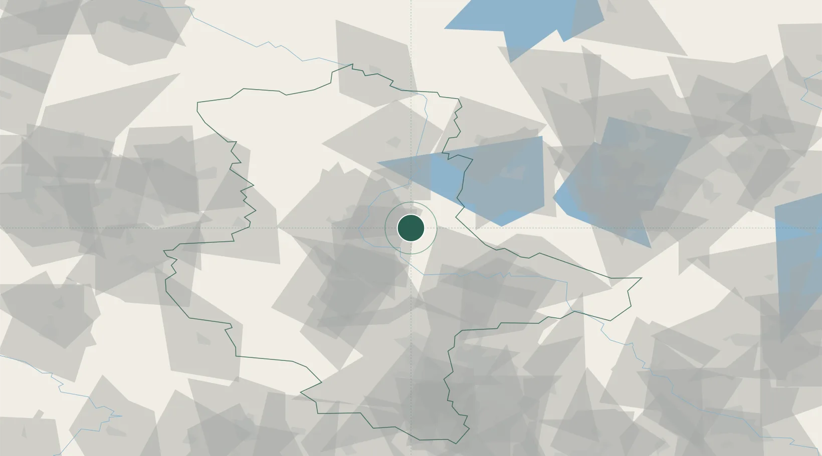
Hub Profile
Place type
Populated place
Region
Thuringia
Population
450
Time zone
Europe/Berlin
Elevation
189 m
Location
Nearby Logistics Neighbours
Cities
- 1Gommern10 km
- 2Lübars12 km
- 3Körbelitz14 km
- 4Burg bei Magdeburg16 km
- 5Hohenwarthe19 km
Ports
- 1Wismar199 km
- 2Hamburg208 km
- 3Lubeck212 km
- 4Lubeck-Travemunde216 km
- 5Rostock219 km
Airports
- 1Zerbst Airfield20 km
- 2Leipzig/Halle Airport82 km
- 3Holzdorf Air Base93 km
- 4Braunschweig-Wolfsburg Airport97 km
- 5Berlin Brandenburg Airport109 km
Trade Zones
- 1Kostrzyń-Słubice SEZ190 km
- 2Most - Joseph Industrial Zone218 km
- 3Žatec - Triangle Strategic Industrial Zone222 km
- 4Szczecin Duty Free Zone227 km
- 5Podbořany Industrial Zone235 km
DatabookThe Record of Consolidated Knowledge
Germany beyond logistics?