Channel & Berth Profile
Pilotage, Tugs & Services
Pilotage compulsoryYES
Pilotage availableYES
Tug assistanceYES
Shore powerYES
Potable waterYES
Diesel bunkersYES
MedicalYES
Garbage disposalYES
Facilities & Capabilities
ContainerNO
Ro-RoYES
Liquid bulkYES
Dry bulkYES
Oil terminalNO
Break bulkYES
Dry dockNO
RepairsNO
BunkeringYES
Rail linkYES
Dangerous cargo—
ISPS security—
Harbour Specifications
Harbour size
Large
Harbour type
River (Natural)
Shelter
Good
Water body
Baltic Sea; North Atlantic Ocean
Tidal range
1 m
Overhead limit
Yes
Pilotage
Yes
Liner Connectivity
7.4
PLSCI
Port Liner Shipping Connectivity Index for Rostock, as published by UNCTAD for the latest available quarter. Higher values indicate stronger scheduled liner-shipping integration.
Shown relative to the highest per-port PLSCI in the dataset (1,657.9).
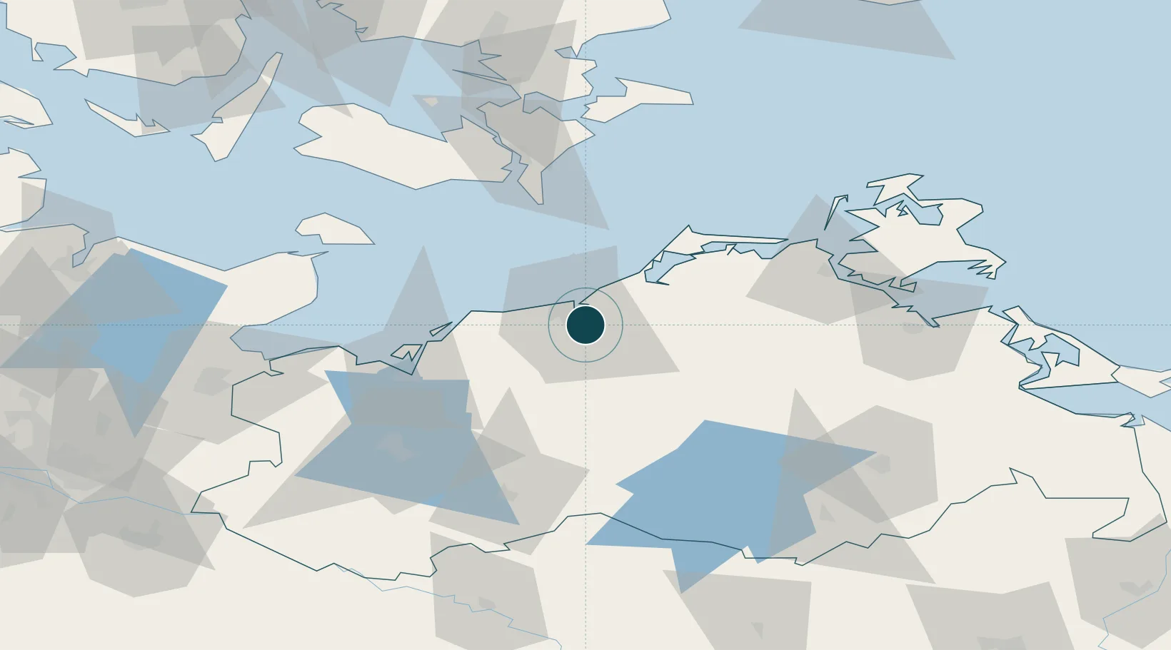
Location
Nearby Logistics Neighbours
Ports
- 1Wismar49 km
- 2Stralsund67 km
- 3Nysted68 km
- 4Nykobing76 km
- 5Rodby Havn80 km
Cities
- 1Bentwisch4 km
- 2Kessin5 km
- 3Warnemünde8 km
- 4Parkentin10 km
- 5Rövershagen11 km
Airports
Trade Zones
- 1Freeport of Kiel130 km
- 2Swinoujscie Duty Free Zone142 km
- 3Szczecin Duty Free Zone177 km
- 4MTS Malmö Transport and Spedition178 km
- 5Freeport of Copenhagen- Nordhavn182 km
DatabookThe Record of Consolidated Knowledge
Germany beyond logistics?