Transport Functions
Rail
Road
Hub Profile
Place type
Local administrative seat
Region
Baden-Wurttemberg
Population
11,675
Time zone
Europe/Berlin
Elevation
107 m
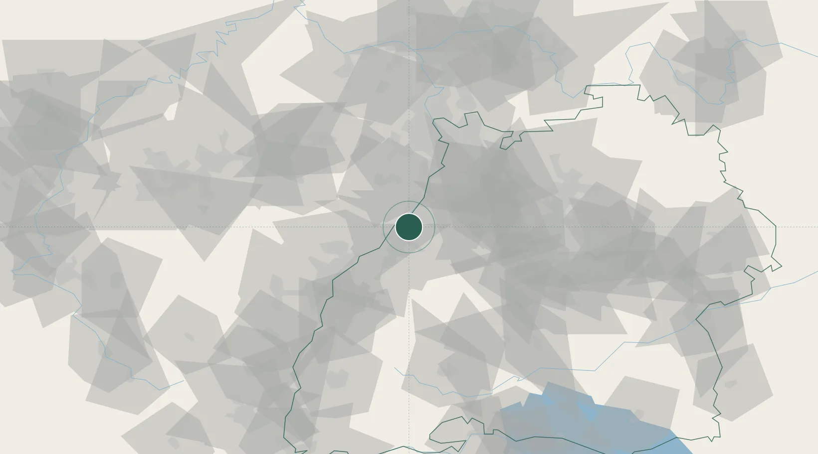
Location
Nearby Logistics Neighbours
Cities
- 1Rheinstetten4 km
- 2Ötigheim6 km
- 3Berg (Gemersheim)7 km
- 4Malsch7 km
- 5Lauterbourg9 km
Airports
- 1Karlsruhe Baden-Baden Airport22 km
- 2Mannheim-City Airport63 km
- 3Strasbourg Airport64 km
- 4Lahr Airport71 km
- 5Ramstein Air Base74 km
Trade Zones
- 1ZFU Hautepierre57 km
- 2ZFU Neuhof57 km
- 3ZFU La Cité Behren-lès-Forbach101 km
- 4ZFU Mulhouse149 km
- 5ZFU Metz155 km
DatabookThe Record of Consolidated Knowledge
Germany beyond logistics?