Transport Functions
Rail
Road
Hub Profile
Place type
Populated place
Region
Baden-Wurttemberg
Population
20,378
Time zone
Europe/Berlin
Elevation
114 m
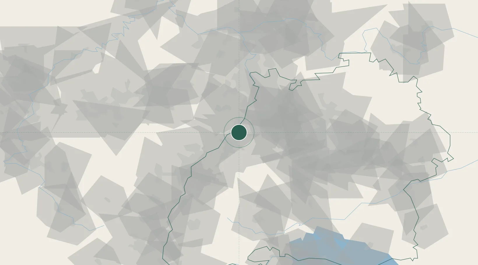
Location
Nearby Logistics Neighbours
Cities
- 1Durmersheim4 km
- 2Karlsruhe7 km
- 3Maximiliansau7 km
- 4Maxau8 km
- 5Berg (Gemersheim)8 km
Airports
- 1Karlsruhe Baden-Baden Airport26 km
- 2Mannheim-City Airport58 km
- 3Strasbourg Airport69 km
- 4Ramstein Air Base73 km
- 5Stuttgart Airport74 km
Trade Zones
- 1ZFU Hautepierre61 km
- 2ZFU Neuhof62 km
- 3ZFU La Cité Behren-lès-Forbach102 km
- 4ZFU Mulhouse153 km
- 5ZFU Metz157 km
DatabookThe Record of Consolidated Knowledge
Germany beyond logistics?