Transport Functions
Port
Multimodal
Hub Profile
Place type
Local administrative seat
Region
Baden-Wurttemberg
Population
6,007
Time zone
Europe/Berlin
Elevation
268 m
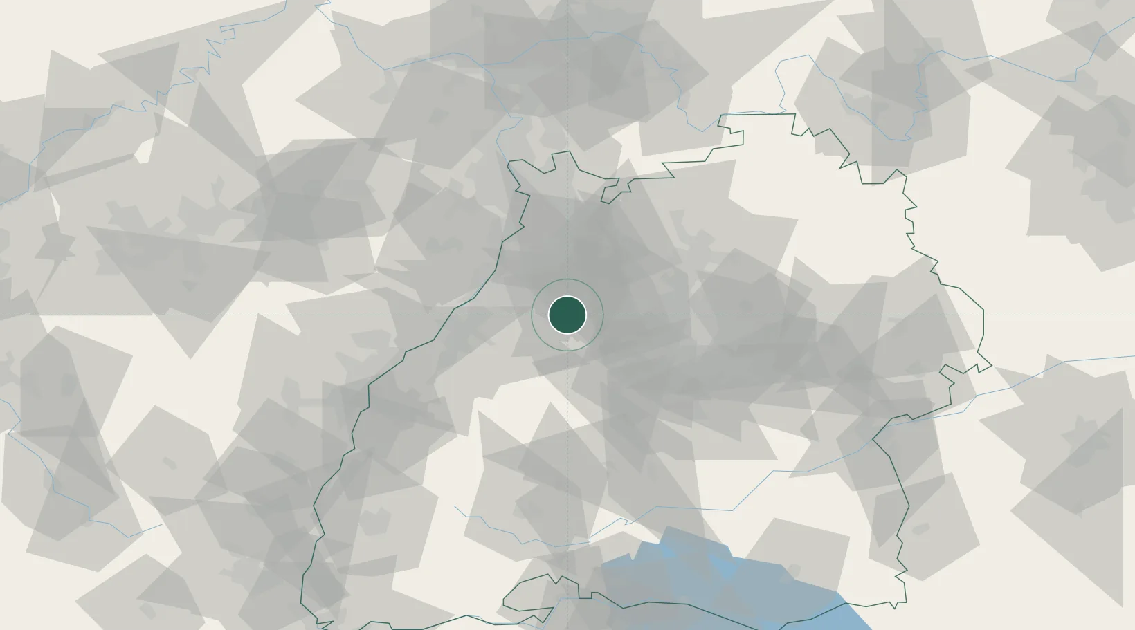
Location
Nearby Logistics Neighbours
Cities
- 1Kaempfelbach4 km
- 2Keltern6 km
- 3Königsbach-Stein7 km
- 4Remchingen8 km
- 5Niebelsbach8 km
Airports
- 1Karlsruhe Baden-Baden Airport46 km
- 2Stuttgart Airport48 km
- 3Mannheim-City Airport63 km
- 4Adolf Würth Airport85 km
- 5Lahr Airport87 km
Trade Zones
- 1ZFU Neuhof78 km
- 2ZFU Hautepierre80 km
- 3ZFU La Cité Behren-lès-Forbach130 km
- 4ZFU Mulhouse163 km
- 5ZFU Metz184 km
DatabookThe Record of Consolidated Knowledge
Germany beyond logistics?