Transport Functions
Port
Road
Hub Profile
Place type
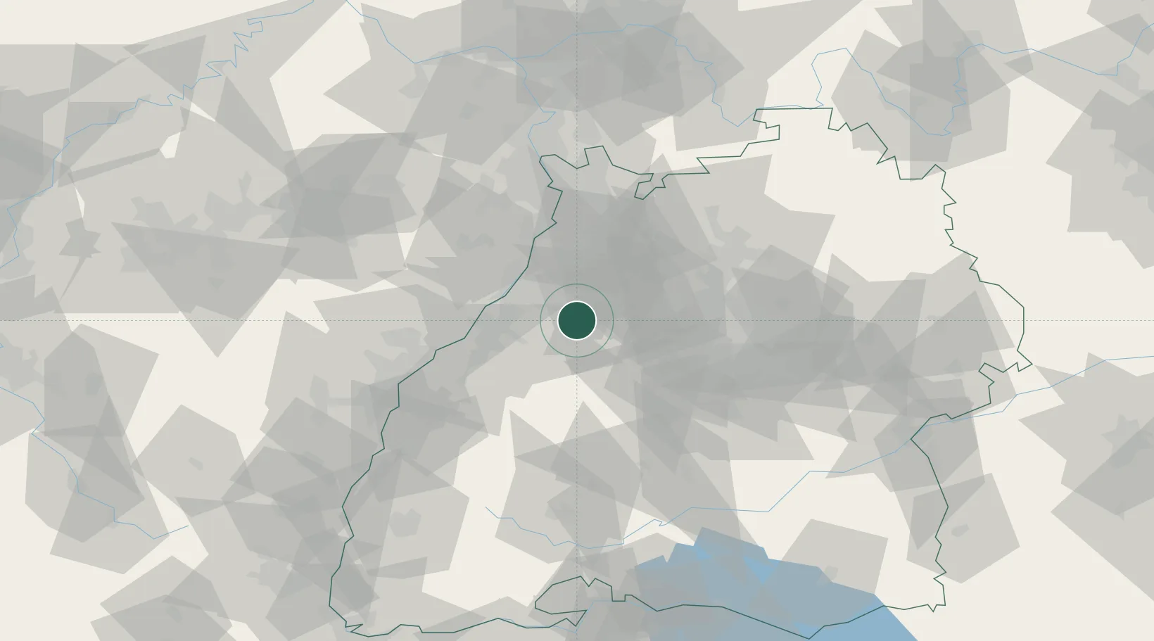
Populated place
Region
Baden-Wurttemberg
Time zone
Europe/Berlin
Elevation
251 m
Location
Nearby Logistics Neighbours
Cities
- 1Keltern2 km
- 2Kaempfelbach5 km
- 3Neuenbürg6 km
- 4Karlsbad6 km
- 5Waldbronn7 km
Airports
- 1Karlsruhe Baden-Baden Airport37 km
- 2Stuttgart Airport53 km
- 3Mannheim-City Airport66 km
- 4Strasbourg Airport79 km
- 5Lahr Airport79 km
Trade Zones
- 1ZFU Neuhof70 km
- 2ZFU Hautepierre72 km
- 3ZFU La Cité Behren-lès-Forbach124 km
- 4ZFU Mulhouse156 km
- 5ZFU Maxéville, Laxou, et de Nancy177 km
DatabookThe Record of Consolidated Knowledge
Germany beyond logistics?