Transport Functions
Rail
Road
Hub Profile
Region
NW
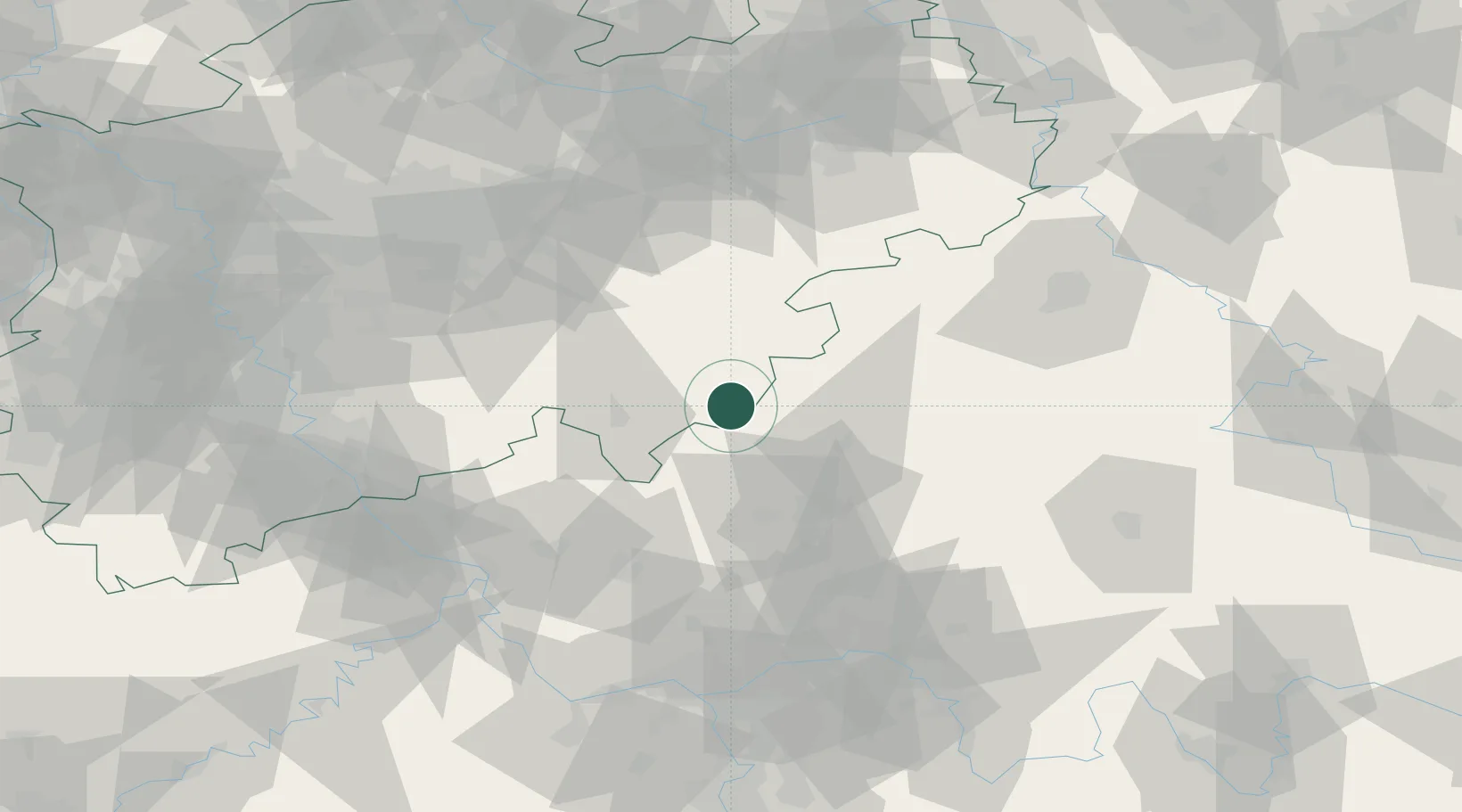
Location
Nearby Logistics Neighbours
Cities
- 1Eschenburg13 km
- 2Steinperf14 km
- 3Battenberg20 km
- 4Fellerdilln20 km
- 5Lahntal22 km
Airports
- 1Siegerland Airport34 km
- 2Fritzlar Army Airfield65 km
- 3Paderborn Lippstadt Airport77 km
- 4Dortmund Airport85 km
- 5Kassel Airport88 km
Trade Zones
- 1Freeport of Duisburg139 km
- 2Rheinische Revier SWZ142 km
- 3Luxembourg Free Port211 km
- 4ZFU La Cité Behren-lès-Forbach223 km
- 5Freeport of Bremerhaven (Freihafen Bremerhaven)241 km
DatabookThe Record of Consolidated Knowledge
Germany beyond logistics?