Transport Functions
Rail
Road
Hub Profile
Region
HE
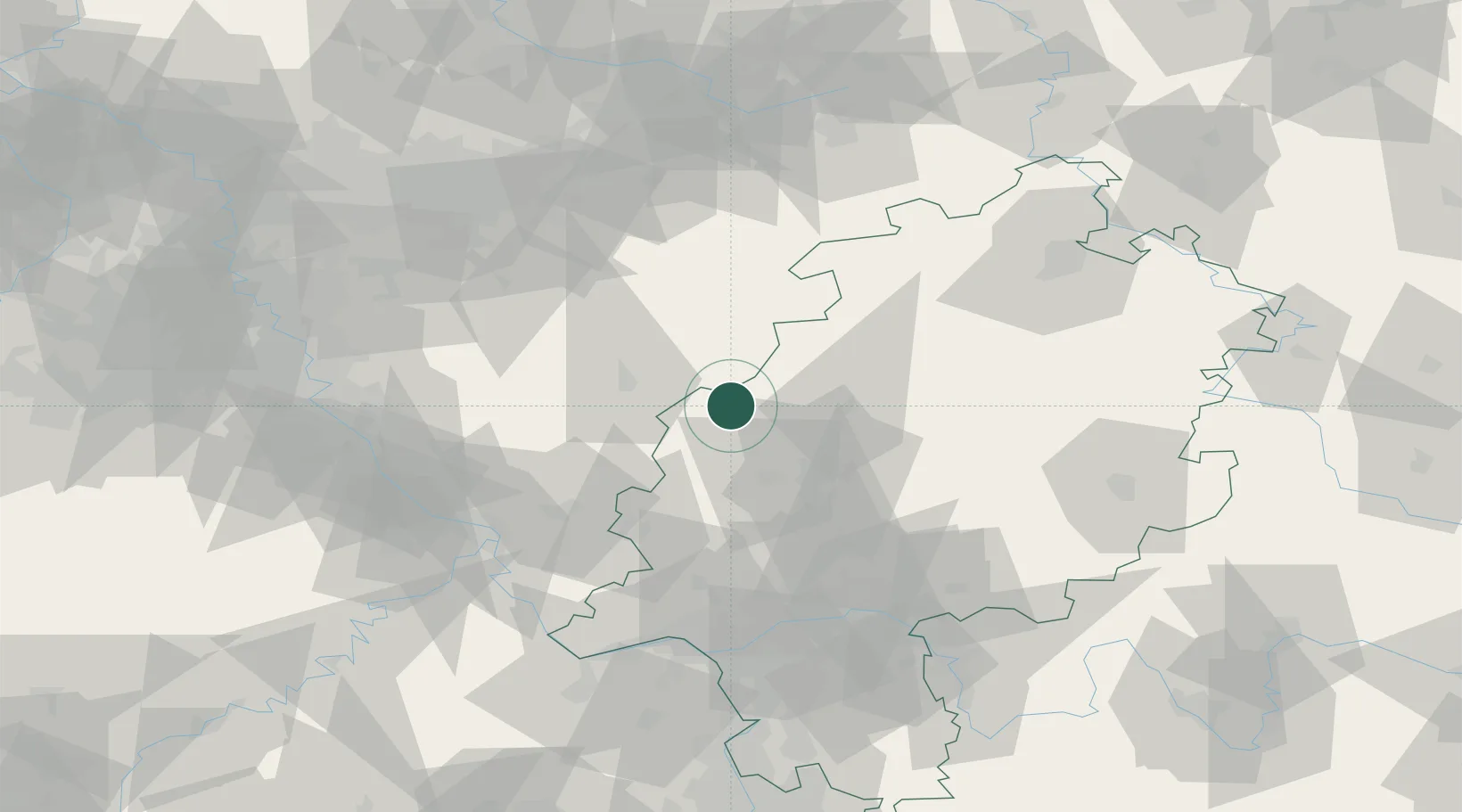
Location
Nearby Logistics Neighbours
Cities
- 1Steinperf6 km
- 2Bischoffen13 km
- 3Mittenaar13 km
- 4Fellerdilln13 km
- 5Bad Laasphe (Laasphe)13 km
Airports
- 1Siegerland Airport24 km
- 2Fritzlar Army Airfield71 km
- 3Wiesbaden Army Airfield85 km
- 4Cologne Bonn Airport87 km
- 5Frankfurt Main Airport89 km
Trade Zones
- 1Rheinische Revier SWZ141 km
- 2Freeport of Duisburg144 km
- 3Luxembourg Free Port202 km
- 4ZFU La Cité Behren-lès-Forbach211 km
- 5ZFU Woippy-Metz245 km
DatabookThe Record of Consolidated Knowledge
Germany beyond logistics?