Transport Functions
Rail
Road
Multimodal
Hub Profile
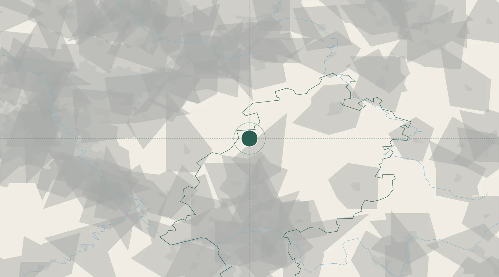
Place type
Populated place
Region
Hesse
Population
5,703
Time zone
Europe/Berlin
Elevation
360 m
Location
Nearby Logistics Neighbours
Cities
- 1Burgwald7 km
- 2Münden16 km
- 3Lahntal19 km
- 4Bad Laasphe (Laasphe)20 km
- 5Steinperf26 km
Airports
- 1Fritzlar Army Airfield46 km
- 2Siegerland Airport53 km
- 3Paderborn Lippstadt Airport66 km
- 4Kassel Airport68 km
- 5Dortmund Airport91 km
Trade Zones
- 1Freeport of Duisburg151 km
- 2Rheinische Revier SWZ159 km
- 3Luxembourg Free Port231 km
- 4Freeport of Bremerhaven (Freihafen Bremerhaven)231 km
- 5ZFU La Cité Behren-lès-Forbach240 km
DatabookThe Record of Consolidated Knowledge
Germany beyond logistics?