Transport Functions
Multimodal
Hub Profile
Place type
Populated place
Region
Hesse
Time zone
Europe/Berlin
Elevation
340 m
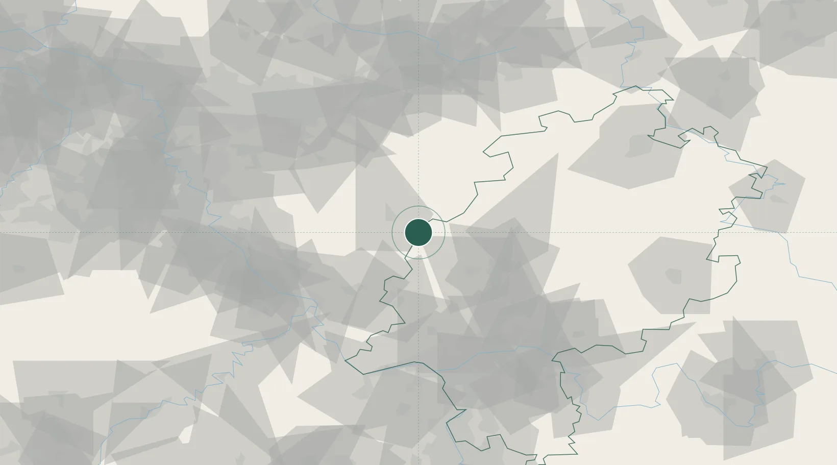
Location
Nearby Logistics Neighbours
Cities
- 1Breitscheid13 km
- 2Eschenburg13 km
- 3Bischoffen17 km
- 4Mittenaar17 km
- 5Derschen18 km
Airports
- 1Siegerland Airport13 km
- 2Cologne Bonn Airport75 km
- 3Fritzlar Army Airfield84 km
- 4Wiesbaden Army Airfield84 km
- 5Frankfurt Main Airport90 km
Trade Zones
- 1Rheinische Revier SWZ128 km
- 2Freeport of Duisburg134 km
- 3Luxembourg Free Port191 km
- 4ZFU La Cité Behren-lès-Forbach203 km
- 5ZFU Woippy-Metz235 km
DatabookThe Record of Consolidated Knowledge
Germany beyond logistics?