Transport Functions
Rail
Road
Multimodal
Hub Profile
Region
HE
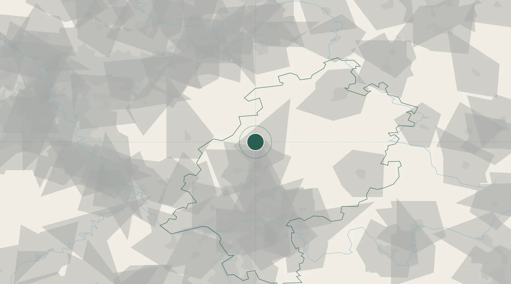
Location
Nearby Logistics Neighbours
Cities
- 1Niederweimar10 km
- 2Steinperf16 km
- 3Fronhausen17 km
- 4Burgwald17 km
- 5Battenberg19 km
Airports
- 1Siegerland Airport45 km
- 2Fritzlar Army Airfield51 km
- 3Kassel Airport80 km
- 4Paderborn Lippstadt Airport85 km
- 5Frankfurt Main Airport92 km
Trade Zones
- 1Freeport of Duisburg161 km
- 2Rheinische Revier SWZ162 km
- 3Luxembourg Free Port221 km
- 4ZFU La Cité Behren-lès-Forbach225 km
- 5Freeport of Bremerhaven (Freihafen Bremerhaven)249 km
DatabookThe Record of Consolidated Knowledge
Germany beyond logistics?