Large airport · Germany
Kassel AirportEDVK
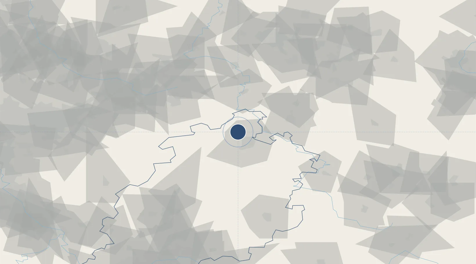
51.4184°, 9.3916°
8,202 ft
Longest runway
1
Runways
820 ft
Elevation
Runway & Layout

Radio Frequencies
ATIS
129.205 MHz
KASSEL ATIS
TWR
118.105 MHz
KASSEL TOWER
GND
121.905 MHz
KASSEL GROUND
AFIS
119.825 MHz
LANGEN INFORMATION
RDR
123.925 MHz
BREMEN RADAR
Navaids
KSL NDB Kassel 349 kHz
Runways · 1
| Runway | Dimensions | Surface | True heading | Lit |
|---|---|---|---|---|
| 09/27 | 8,202 × 147ft | ASPH | 095° | ✓ |
Airport Specifications
IATA code
KSF
ICAO code
EDVK
Airport class
Large airport
Scheduled service
Yes
Runway surface
ASPH
Served city
Calden
Location
Nearby Logistics Neighbours
Airports
- 1Fritzlar Army Airfield35 km
- 2Paderborn Lippstadt Airport58 km
- 3Bielefeld Airport84 km
- 4Eisenach-Kindel Airport89 km
- 5Bückeburg Air Base98 km
Cities
- 1Vellmar9 km
- 2Fuldatal13 km
- 3Reinhardshagen16 km
- 4Niestetal17 km
- 5Kassel18 km
Trade Zones
DatabookThe Record of Consolidated Knowledge
Germany beyond logistics?