Transport Functions
Road
Multimodal
Hub Profile
Place type
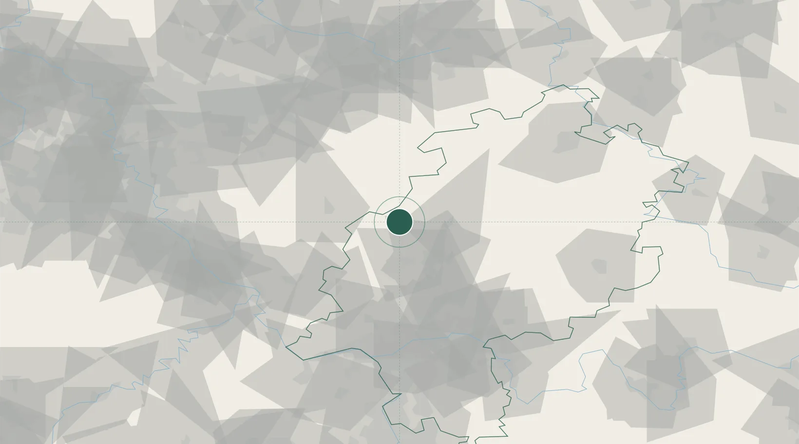
Populated place
Region
Hesse
Time zone
Europe/Berlin
Elevation
405 m
Location
Nearby Logistics Neighbours
Cities
- 1Eschenburg6 km
- 2Bad Laasphe (Laasphe)14 km
- 3Bischoffen14 km
- 4Mittenaar14 km
- 5Lahntal16 km
Airports
- 1Siegerland Airport30 km
- 2Fritzlar Army Airfield66 km
- 3Wiesbaden Army Airfield86 km
- 4Frankfurt Main Airport88 km
- 5Paderborn Lippstadt Airport89 km
Trade Zones
- 1Rheinische Revier SWZ147 km
- 2Freeport of Duisburg149 km
- 3Luxembourg Free Port207 km
- 4ZFU La Cité Behren-lès-Forbach214 km
- 5ZFU Woippy-Metz249 km
DatabookThe Record of Consolidated Knowledge
Germany beyond logistics?