Medium airport · Germany
Fritzlar Army AirfieldETHF
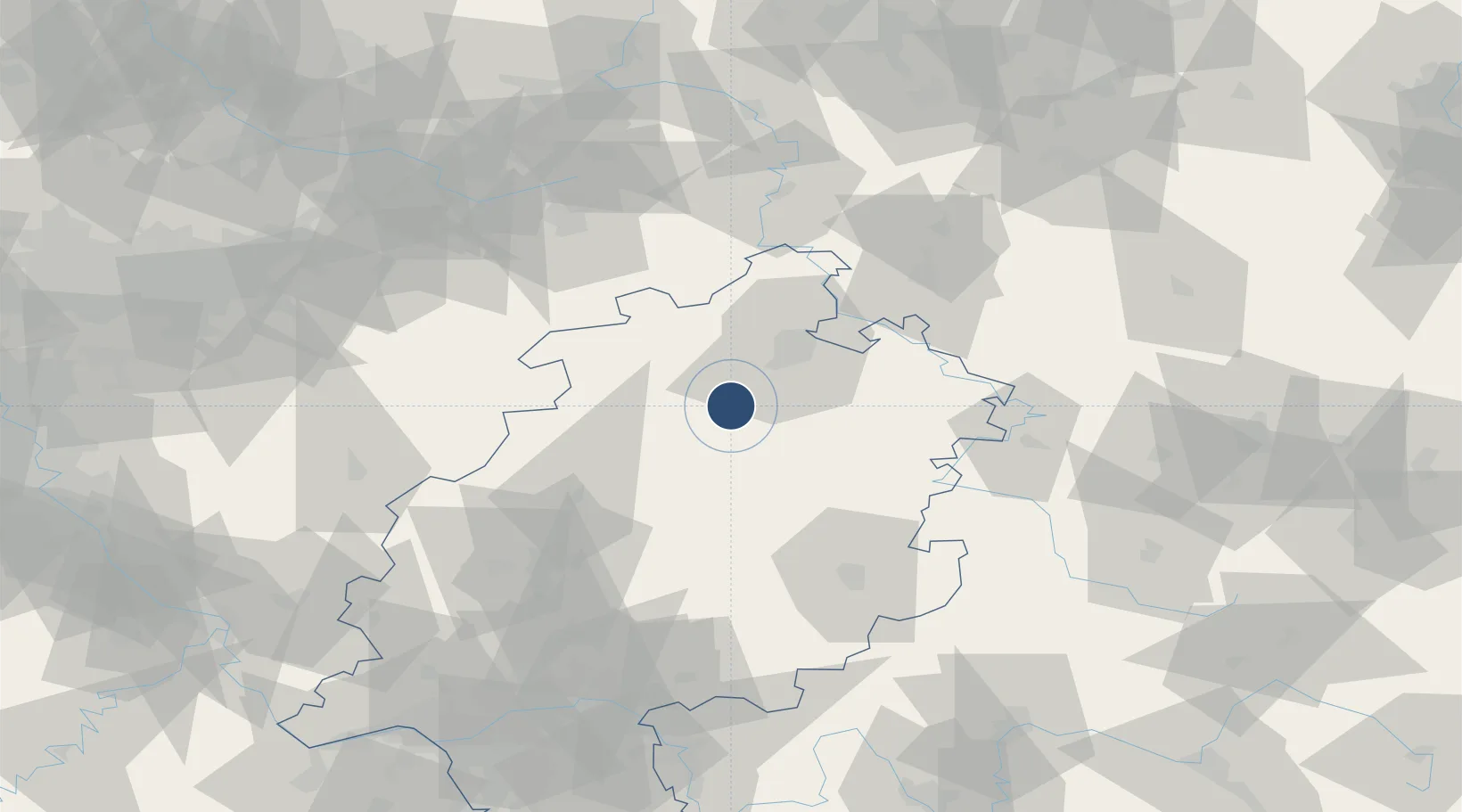
51.1146°, 9.2860°
3,413 ft
Longest runway
1
Runways
565 ft
Elevation
Runway & Layout

Radio Frequencies
TWR
122.1 MHz
Fritzlar Tower / Turm
AFIS
119.15 MHz
Langen Information
AFIS
119.825 MHz
Langen Information
Navaids
FTZ NDB Fritzlar 468 kHz
Runways · 1
| Runway | Dimensions | Surface | True heading | Lit |
|---|---|---|---|---|
| 11/29 | 3,413 × 98ft | Asphalt | 119° | ✓ |
Airport Specifications
IATA code
FRZ
ICAO code
ETHF
Airport class
Medium airport
Scheduled service
No
Runway surface
Asphalt
Served city
Fritzlar
Location
Nearby Logistics Neighbours
Airports
- 1Kassel Airport35 km
- 2Paderborn Lippstadt Airport72 km
- 3Eisenach-Kindel Airport85 km
- 4Siegerland Airport96 km
- 5Bielefeld Airport108 km
Cities
- 1Bilsington2 km
- 2Wabern4 km
- 3Borken7 km
- 4Felsberg9 km
- 5Gudensberg10 km
Trade Zones
- 1Freeport of Duisburg191 km
- 2Rheinische Revier SWZ205 km
- 3Freeport of Bremerhaven (Freihafen Bremerhaven)223 km
- 4Luxembourg Free Port272 km
- 5ZFU La Cité Behren-lès-Forbach274 km
DatabookThe Record of Consolidated Knowledge
Germany beyond logistics?