Transport Functions
Multimodal
Hub Profile
Place type
Local administrative seat
Region
Baden-Wurttemberg
Population
5,585
Time zone
Europe/Berlin
Elevation
109 m
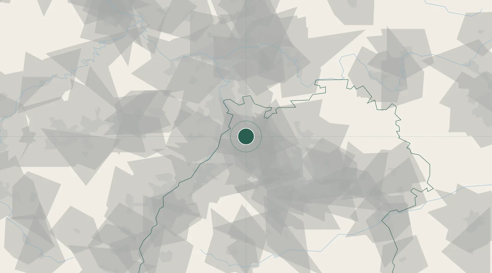
Location
Nearby Logistics Neighbours
Cities
- 1Ubstadt-Weiher6 km
- 2Hambrücken7 km
- 3Dielheim10 km
- 4Oberhausen-Rheinhausen12 km
- 5Karlsdorf-Neuthard13 km
Airports
- 1Mannheim-City Airport30 km
- 2Karlsruhe Baden-Baden Airport63 km
- 3Stuttgart Airport73 km
- 4Ramstein Air Base79 km
- 5Frankfurt-Egelsbach Airport83 km
Trade Zones
- 1ZFU Hautepierre98 km
- 2ZFU Neuhof99 km
- 3ZFU La Cité Behren-lès-Forbach124 km
- 4ZFU Metz180 km
- 5Luxembourg Free Port181 km
DatabookThe Record of Consolidated Knowledge
Germany beyond logistics?