Transport Functions
Multimodal
Hub Profile
Place type
Local administrative seat
Region
Baden-Wurttemberg
Population
8,999
Time zone
Europe/Berlin
Elevation
151 m
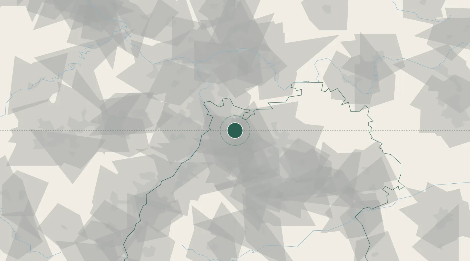
Location
Nearby Logistics Neighbours
Cities
- 1Zuzenhausen6 km
- 2Meckesheim7 km
- 3Eschelbronn9 km
- 4Kronau10 km
- 5Kirchheim11 km
Airports
- 1Mannheim-City Airport26 km
- 2Karlsruhe Baden-Baden Airport74 km
- 3Stuttgart Airport75 km
- 4Frankfurt-Egelsbach Airport76 km
- 5Adolf Würth Airport79 km
Trade Zones
- 1ZFU Hautepierre108 km
- 2ZFU Neuhof109 km
- 3ZFU La Cité Behren-lès-Forbach132 km
- 4Luxembourg Free Port186 km
- 5ZFU Metz188 km
DatabookThe Record of Consolidated Knowledge
Germany beyond logistics?