UN/LOCODE hub · Germany
DEORN

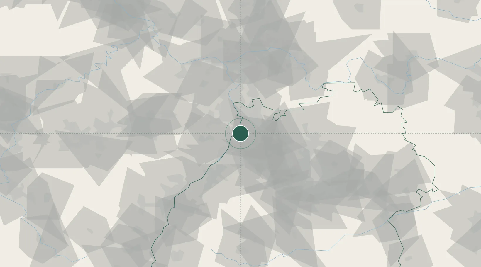
Oberhausen-Rheinhausen

49.2667°, 8.4833°
9,420
Population
1
Transport functions

Transport Functions

Multimodal
UN/LOCODE

Hub Profile

Place type
Local administrative seat
GeoNames
Region
Baden-Wurttemberg
GeoNames
Population
9,420
GeoNames
Time zone
Europe/Berlin
GeoNames
Elevation
96 m
GeoNames

Location

Location of DEORN
Natural Earth 10m (public domain) · Baden-Wurttemberg · DEORN · 49.27, 8.48GoogleOSMYandex

Nearby Logistics Neighbours

Cities
  1. 1Speyer4 km
  2. 2Germersheim9 km
  3. 3Huttenheim10 km
  4. 4Hambrücken11 km
  5. 5Harthausen11 km
Nearest neighbours — logibook spatial index (haversine) over the source coordinates
Ports
  1. 1Bruxelles344 km
  2. 2Antwerpen362 km
  3. 3Dordrecht392 km
  4. 4Hansweert400 km
  5. 5Rotterdam407 km
Nearest neighbours — logibook spatial index (haversine) over the source coordinates
Airports
  1. 1Mannheim-City Airport23 km
  2. 2Karlsruhe Baden-Baden Airport62 km
  3. 3Ramstein Air Base67 km
  4. 4Frankfurt-Egelsbach Airport78 km
  5. 5Mainz-Finthen Airfield82 km
Nearest neighbours — logibook spatial index (haversine) over the source coordinates
Trade Zones
  1. 1ZFU Hautepierre95 km
  2. 2ZFU Neuhof96 km
  3. 3ZFU La Cité Behren-lès-Forbach114 km
  4. 4Luxembourg Free Port169 km
  5. 5ZFU Metz170 km
Nearest neighbours — logibook spatial index (haversine) over the source coordinates
DatabookThe Record of Consolidated Knowledge
Germany beyond logistics?
Browse databook

All Sources

LocationsUN/LOCODE
UN/LOCODE — free
LocationsGeoNames
CC BY 4.0
Portsthe NGA World Port Index
Public domain (US gov)
AirportsOurAirports
Public domain
Trade Zonesthe World Bank SEZ database
CC BY 4.0
Trade ZonesOpen Zone Map
CC BY
← Germany locations