UN/LOCODE hub · Germany
DEKNH
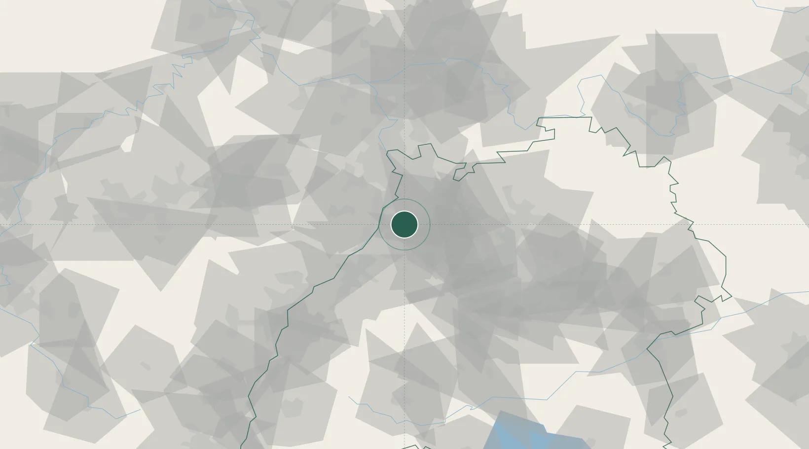
Karlsdorf-Neuthard
49.1333°, 8.5167°
9,329
Population
2
Transport functions
Transport Functions
Rail
Road
Hub Profile
Place type
Local administrative seat
Region
Baden-Wurttemberg
Population
9,329
Time zone
Europe/Berlin
Elevation
110 m
Location
Nearby Logistics Neighbours
Cities
- 1Hambrücken6 km
- 2Linkenheim-Hochstetten7 km
- 3Huttenheim7 km
- 4Ubstadt-Weiher8 km
- 5Ludwigswinkel12 km
Airports
- 1Mannheim-City Airport38 km
- 2Karlsruhe Baden-Baden Airport51 km
- 3Stuttgart Airport71 km
- 4Ramstein Air Base75 km
- 5Adolf Würth Airport92 km
Trade Zones
- 1ZFU Hautepierre85 km
- 2ZFU Neuhof86 km
- 3ZFU La Cité Behren-lès-Forbach116 km
- 4ZFU Metz171 km
- 5ZFU Woippy-Metz172 km
DatabookThe Record of Consolidated Knowledge
Germany beyond logistics?