UN/LOCODE hub · Germany
DEBWV

Hambrücken

49.1833°, 8.5500°
5,302
Population
1
Transport functions

Transport Functions

Multimodal
UN/LOCODE

Hub Profile

Place type
Local administrative seat
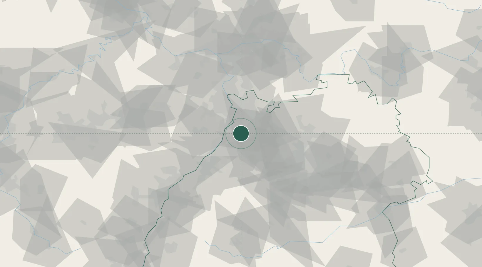
GeoNames
Region
Baden-Wurttemberg
GeoNames
Population
5,302
GeoNames
Time zone
Europe/Berlin
GeoNames
Elevation
107 m
GeoNames

Location

Location of DEBWV
Natural Earth 10m (public domain) · Baden-Wurttemberg · DEBWV · 49.18, 8.55GoogleOSMYandex

Nearby Logistics Neighbours

Cities
  1. 1Ubstadt-Weiher5 km
  2. 2Karlsdorf-Neuthard6 km
  3. 3Kronau7 km
  4. 4Huttenheim7 km
  5. 5Oberhausen-Rheinhausen11 km
Nearest neighbours — logibook spatial index (haversine) over the source coordinates
Ports
  1. 1Bruxelles354 km
  2. 2Antwerpen372 km
  3. 3Dordrecht402 km
  4. 4Hansweert410 km
  5. 5Rotterdam417 km
Nearest neighbours — logibook spatial index (haversine) over the source coordinates
Airports
  1. 1Mannheim-City Airport32 km
  2. 2Karlsruhe Baden-Baden Airport57 km
  3. 3Stuttgart Airport74 km
  4. 4Ramstein Air Base74 km
  5. 5Frankfurt-Egelsbach Airport87 km
Nearest neighbours — logibook spatial index (haversine) over the source coordinates
Trade Zones
  1. 1ZFU Hautepierre91 km
  2. 2ZFU Neuhof92 km
  3. 3ZFU La Cité Behren-lès-Forbach118 km
  4. 4ZFU Metz174 km
  5. 5ZFU Woippy-Metz175 km
Nearest neighbours — logibook spatial index (haversine) over the source coordinates
DatabookThe Record of Consolidated Knowledge
Germany beyond logistics?
Browse databook

All Sources

LocationsUN/LOCODE
UN/LOCODE — free
LocationsGeoNames
CC BY 4.0
Portsthe NGA World Port Index
Public domain (US gov)
AirportsOurAirports
Public domain
Trade Zonesthe World Bank SEZ database
CC BY 4.0
Trade ZonesOpen Zone Map
CC BY
← Germany locations