Transport Functions
Rail
Road
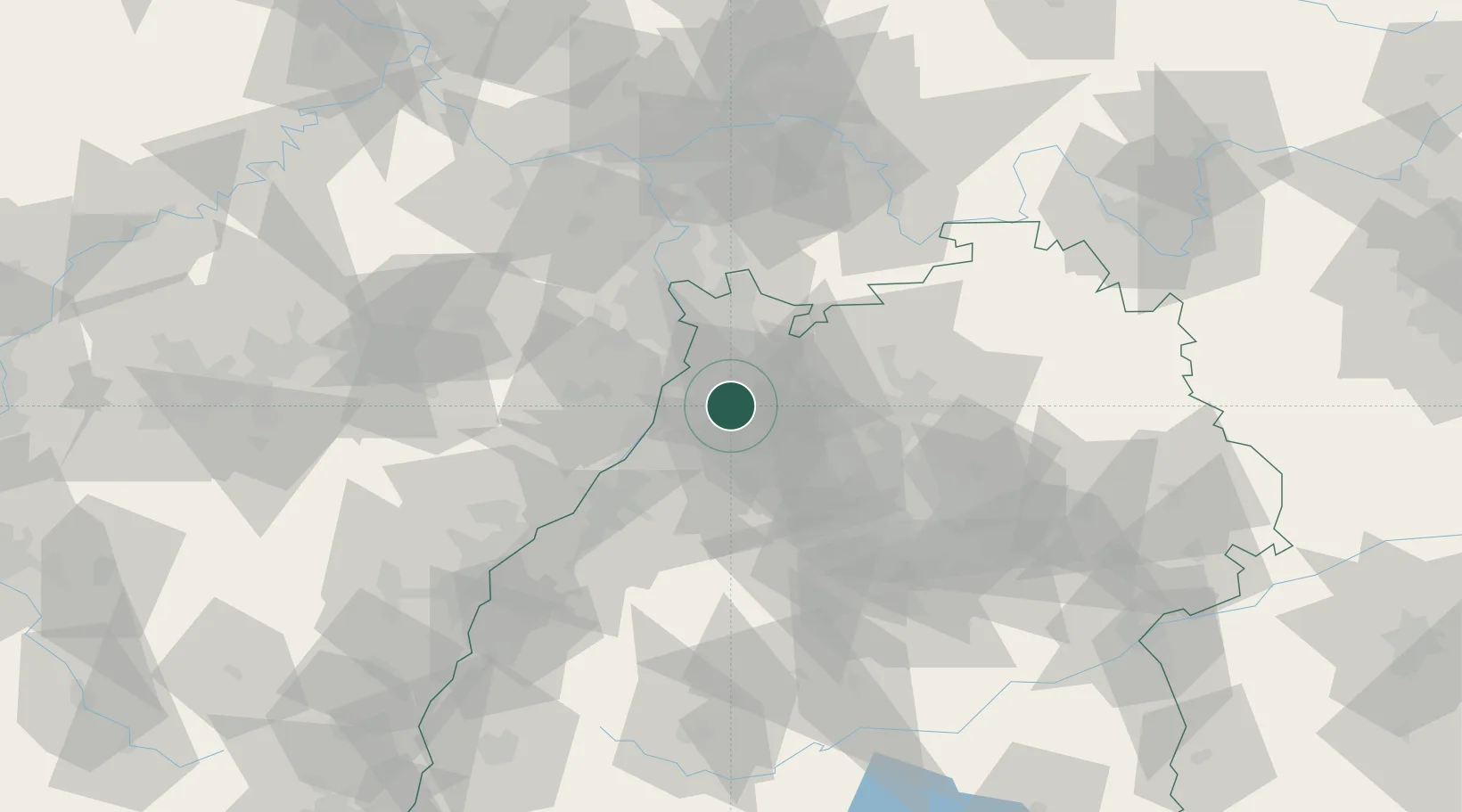
Hub Profile
Place type
Local administrative seat
Region
Baden-Wurttemberg
Population
12,730
Time zone
Europe/Berlin
Elevation
129 m
Location
Nearby Logistics Neighbours
Cities
- 1Hambrücken5 km
- 2Kronau6 km
- 3Karlsdorf-Neuthard8 km
- 4Ludwigswinkel10 km
- 5Huttenheim12 km
Airports
- 1Mannheim-City Airport35 km
- 2Karlsruhe Baden-Baden Airport58 km
- 3Stuttgart Airport69 km
- 4Ramstein Air Base80 km
- 5Adolf Würth Airport85 km
Trade Zones
- 1ZFU Hautepierre93 km
- 2ZFU Neuhof94 km
- 3ZFU La Cité Behren-lès-Forbach123 km
- 4ZFU Metz179 km
- 5ZFU Woippy-Metz180 km
DatabookThe Record of Consolidated Knowledge
Germany beyond logistics?